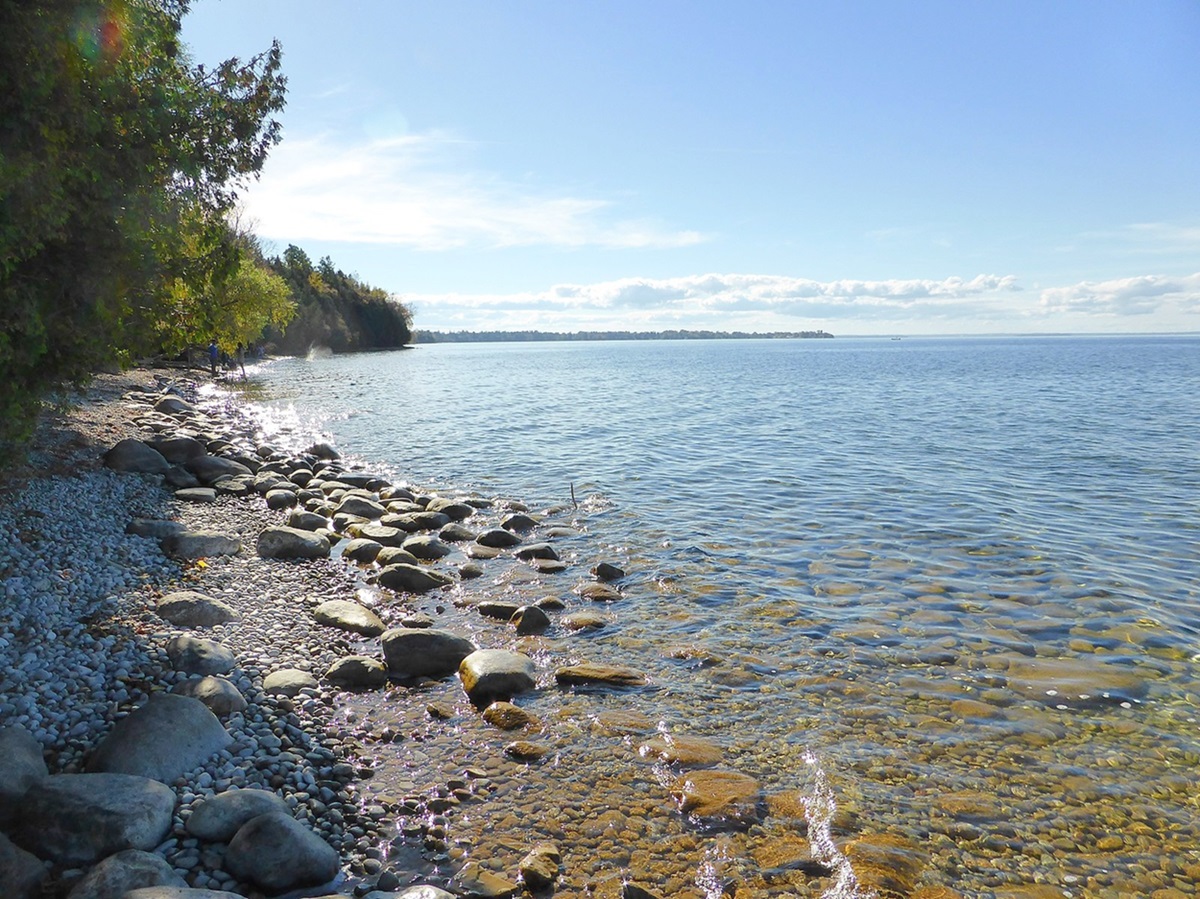
Lac Guillaume-Delisle, 712 km2, is a large, triangular, saltwater lake in northern Québec, connected to the eastern shore of Hudson Bay by Le Goulet, a 5 km long narrow channel. The treeline begins a few km north and the many islands that litter the southern portion of the lake are wooded. The area was visited seasonally by Inuit and Innu, especially at 2 rivers (Petite and Grande Rivière de la Baleine) a short distance to the south, where beluga whales congregate in the summer. The lake was originally called Richmond Gulf by the Hudson's Bay Company, which operated a trading post on an island in the 1750s. It was renamed in 1962 after Guillaume Delisle (1675-1726), a French cartographer who is considered the founder of modern cartography.
-
- MLA 8TH EDITION
- Francis, Daniel. "Lac Guillaume-Delisle". The Canadian Encyclopedia, 16 December 2013, Historica Canada. development.thecanadianencyclopedia.ca/en/article/lac-guillaume-delisle. Accessed 17 February 2026.
- Copy
-
- APA 6TH EDITION
- Francis, D. (2013). Lac Guillaume-Delisle. In The Canadian Encyclopedia. Retrieved from https://development.thecanadianencyclopedia.ca/en/article/lac-guillaume-delisle
- Copy
-
- CHICAGO 17TH EDITION
- Francis, Daniel. "Lac Guillaume-Delisle." The Canadian Encyclopedia. Historica Canada. Article published February 07, 2006; Last Edited December 16, 2013.
- Copy
-
- TURABIAN 8TH EDITION
- The Canadian Encyclopedia, s.v. "Lac Guillaume-Delisle," by Daniel Francis, Accessed February 17, 2026, https://development.thecanadianencyclopedia.ca/en/article/lac-guillaume-delisle
- Copy
Thank you for your submission
Our team will be reviewing your submission
and get back to you with any further questions.
Thanks for contributing to The Canadian Encyclopedia.
CloseArticle
Lac Guillaume-Delisle
Article by Daniel Francis
Published Online February 7, 2006
Last Edited December 16, 2013

 Share on Facebook
 Share on X
 Share by Email
 Share on Google Classroom


