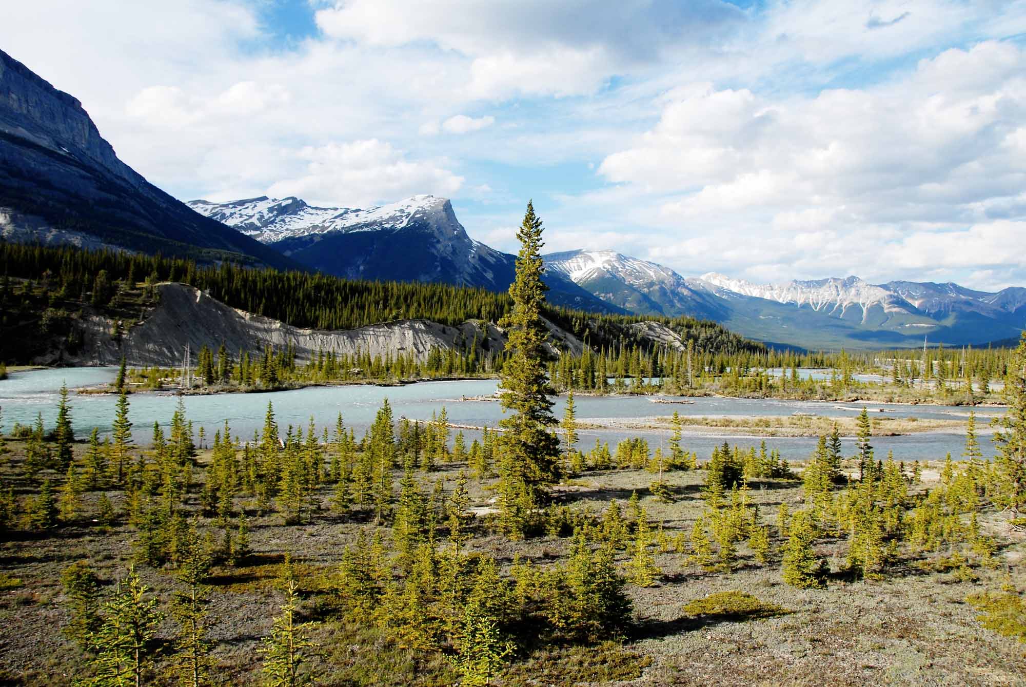
Named for the harbour seals (normally marine creatures) that are found up to 200 km upstream from Hudson Bay, Manitoba's Seal River is formed by the confluence of the North Seal (about 200 km long) and the South Seal (about 240 km long) rivers at Shethanei Lake. The lake is ringed by magnificent sand-crowned eskers that are so much a part of the Seal River landscape. From here the river rushes 260 km eastward through open spruce forest and endless, boiling rapids then through sparsely treed taiga and barren Arctic tundra before spilling into Hudson Bay. The Seal River drains an area covering 46 485 km2, which includes its main tributary the Wolverine River. The Seal River is home to spectacular wildlife such as caribou, wolverine, polar bear and beluga whales, which summer in its estuary on Hudson Bay.
In early 1770s, Samuel Hearne, with Chipewyan guides, travelled along the Seal and Wolverine rivers on foot looking for copper. The descendants of the Chipewyan, the Sayisi Dene, continue their ancestors' traditional use and reverence of the Seal.
Except for the less than 2 dozen skilled canoeing parties that visit the Seal River each year, and the occasional native fisherman and trapper, there is virtually no human activity along the river. In 1992 the Seal River was designated a Canadian Heritage River.

 Share on Facebook
 Share on X
 Share by Email
 Share on Google Classroom

