Browse "Towns"
-
Article
Goderich
Goderich, Ont, incorporated as a town in 1850, population 7521 (2011c), 7563 (2006c), seat of Huron County. The Town of Goderich is located on a bluff above Lake Huron at the mouth of the Maitland River, 130 km northeast of SARNIA.
"https://development.thecanadianencyclopedia.ca/images/tce_placeholder.jpg?v=e9dca980c9bdb3aa11e832e7ea94f5d9" // resources/views/front/categories/view.blade.php
https://development.thecanadianencyclopedia.ca/images/tce_placeholder.jpg?v=e9dca980c9bdb3aa11e832e7ea94f5d9
-
Article
Golden
Golden, British Columbia, incorporated as a town in 1957, population 3,708 (2016 census), 3,701 (2011 census). The town of Golden is located on the Columbia River at its confluence with the Kicking Horse River. It is situated 260 km west of Calgary, Alberta, between the Purcell Mountain Range and Glacier National Park to the west, and the Rocky Mountains and Yoho National Park to the east. Golden is located on the traditional territory of the Ktunaxa and Secwepemc people (see Interior Salish).
"https://development.thecanadianencyclopedia.ca/images/tce_placeholder.jpg?v=e9dca980c9bdb3aa11e832e7ea94f5d9" // resources/views/front/categories/view.blade.php
https://development.thecanadianencyclopedia.ca/images/tce_placeholder.jpg?v=e9dca980c9bdb3aa11e832e7ea94f5d9
-
Article
Grand Bank
Grand Bank, NL, incorporated as a town in 1943, population 2415 (2011c), 2580 (2006c). The Town of Grand Bank is located on the west side of the Burin Peninsula.
"https://development.thecanadianencyclopedia.ca/images/tce_placeholder.jpg?v=e9dca980c9bdb3aa11e832e7ea94f5d9" // resources/views/front/categories/view.blade.php
https://development.thecanadianencyclopedia.ca/images/tce_placeholder.jpg?v=e9dca980c9bdb3aa11e832e7ea94f5d9
-
Article
Grand Bay-Westfield
Grand Bay-Westfield, NB, incorporated as a town in 1998, population 5117 (2011c), 4981 (2006c). The Town of Grand Bay-Westfield is located on the northern boundary of SAINT JOHN about 26 km from the city centre.
"https://development.thecanadianencyclopedia.ca/images/tce_placeholder.jpg?v=e9dca980c9bdb3aa11e832e7ea94f5d9" // resources/views/front/categories/view.blade.php
https://development.thecanadianencyclopedia.ca/images/tce_placeholder.jpg?v=e9dca980c9bdb3aa11e832e7ea94f5d9
-
Article
Grand Falls (NB)
Grand Falls (or Grand-Sault), NB, incorporated as a town in 1890, population 5706 (2011c), 5650 (2006c). The Town of Grand Falls is located 228 km up the SAINT JOHN RIVER from Fredericton at the point where the Canada-US boundary begins to be designated by the river.
"https://d2ttikhf7xbzbs.cloudfront.net/media/media/955d7068-37c3-4046-ab9a-a37098f821e7.jpg" // resources/views/front/categories/view.blade.php
https://d2ttikhf7xbzbs.cloudfront.net/media/media/955d7068-37c3-4046-ab9a-a37098f821e7.jpg
-
Article
Grand Falls-Windsor
Grand Falls-Windsor, NL, incorporated as a town in 1991, population 13 725 (2011c), 13 558 (2006c). The Town of Grand Falls-Windsor is comprised of two towns, which were amalgamated in 1991. It is located in central Newfoundland on the Exploits River.
"https://development.thecanadianencyclopedia.ca/images/tce_placeholder.jpg?v=e9dca980c9bdb3aa11e832e7ea94f5d9" // resources/views/front/categories/view.blade.php
https://development.thecanadianencyclopedia.ca/images/tce_placeholder.jpg?v=e9dca980c9bdb3aa11e832e7ea94f5d9
-
Article
Grande Cache
Grande Cache, Alta, incorporated as a town in 1983, population 4319 (2011c), 3783 (2006c). The Town of Grande Cache is located 430 km northwest of Edmonton, on a mountain plateau near the confluence of the Smoky and Sulphur rivers.
"https://development.thecanadianencyclopedia.ca/images/tce_placeholder.jpg?v=e9dca980c9bdb3aa11e832e7ea94f5d9" // resources/views/front/categories/view.blade.php
https://development.thecanadianencyclopedia.ca/images/tce_placeholder.jpg?v=e9dca980c9bdb3aa11e832e7ea94f5d9
-
Article
Gravelbourg
In 1918 a convent was built in the town as well as a college, which was affiliated with UNIVERSITY OF OTTAWA; other Catholic buildings followed: a Romanesque cathedral (1919), a monastery (1926) and a hospital.
"https://development.thecanadianencyclopedia.ca/images/tce_placeholder.jpg?v=e9dca980c9bdb3aa11e832e7ea94f5d9" // resources/views/front/categories/view.blade.php
https://development.thecanadianencyclopedia.ca/images/tce_placeholder.jpg?v=e9dca980c9bdb3aa11e832e7ea94f5d9
-
Article
Gravenhurst
Gravenhurst, Ontario, incorporated as a town in 1887, population 13,157 (2021 census), 12,311 (2016 census). The Town of Gravenhurst is located at the south end of Lake Muskoka, 170 km north of Toronto. The name of Gravenhurst was inspired by the book “Gravenhurst: Or Thoughts on Good & Evil.”
"https://d2ttikhf7xbzbs.cloudfront.net/gravenhurst/Town-Hall-and-Public-Library-Gravenhurst.jpg" // resources/views/front/categories/view.blade.php
https://d2ttikhf7xbzbs.cloudfront.net/gravenhurst/Town-Hall-and-Public-Library-Gravenhurst.jpg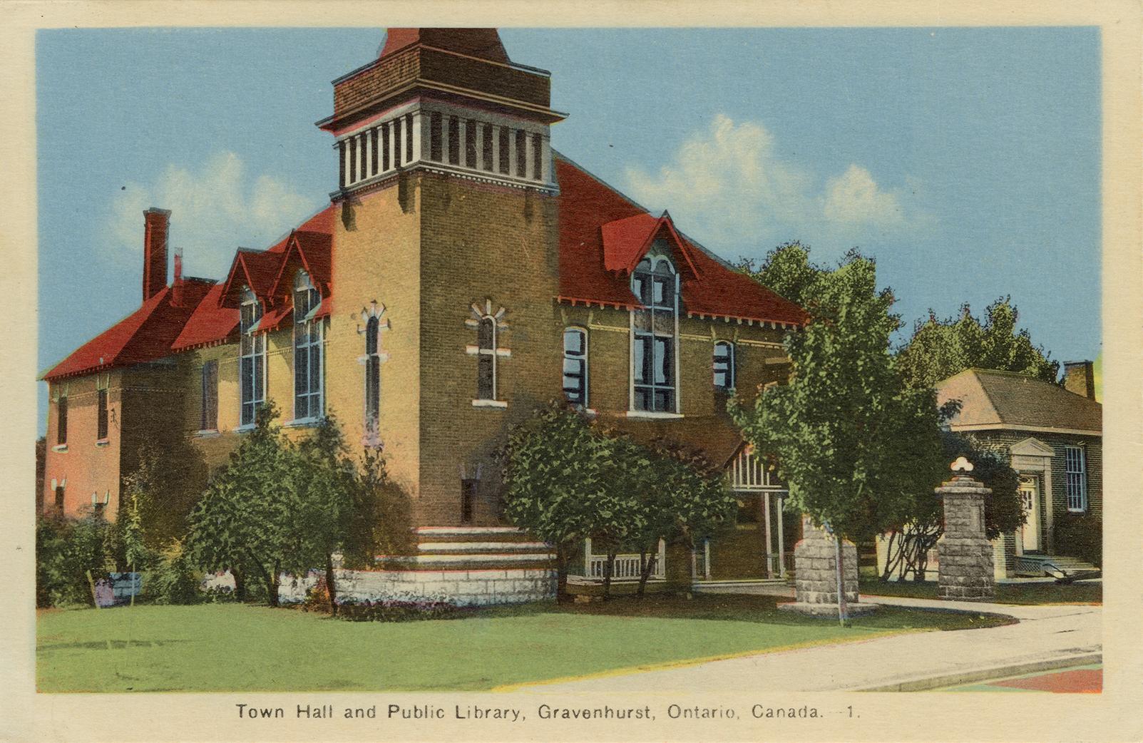
-
Article
Greater Napanee
Greater Napanee, Ont, incorporated as a town in 1864, population 15 511 (2011c), 15 400 (2006c). The Town of Greater Napanee is located 39 km west of Kingston on the Napanee River and six km from the Bay of Quinte on Lake Ontario.
"https://d2ttikhf7xbzbs.cloudfront.net/media/media/53717f9c-a23e-4602-aeb5-9cfdb8f04b79.jpg" // resources/views/front/categories/view.blade.php
https://d2ttikhf7xbzbs.cloudfront.net/media/media/53717f9c-a23e-4602-aeb5-9cfdb8f04b79.jpg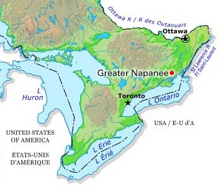
-
Article
Grimsby
Grimsby, Ontario, incorporated as a town in 1970, population 25 325 (2011c), 23 937 (2006c). The Town of Grimsby is situated on the NIAGARA PENINSULA to the east of Hamilton.
"https://development.thecanadianencyclopedia.ca/images/tce_placeholder.jpg?v=e9dca980c9bdb3aa11e832e7ea94f5d9" // resources/views/front/categories/view.blade.php
https://development.thecanadianencyclopedia.ca/images/tce_placeholder.jpg?v=e9dca980c9bdb3aa11e832e7ea94f5d9
-
Article
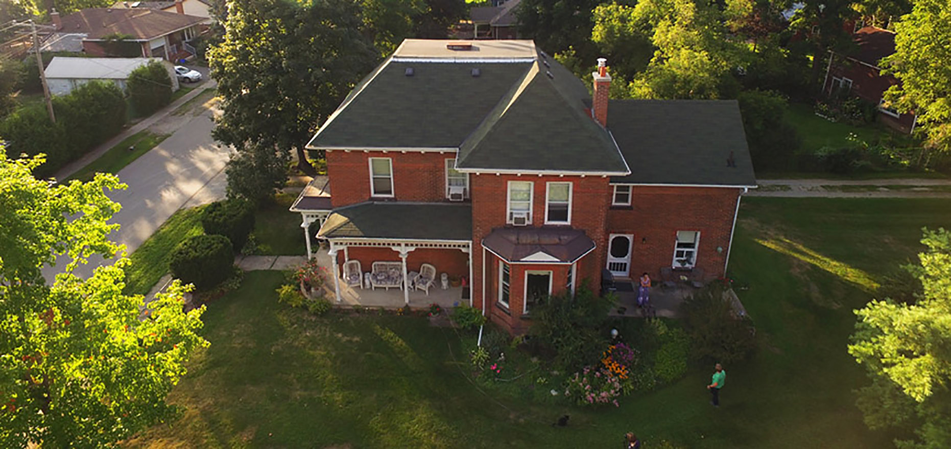
Grimshaw
Grimshaw, Alta, incorporated as a town in 1953, population 2515 (2011c), 2537 (2006c). The Town of Grimshaw is located in the Peace River area 26 km west of the town of PEACE RIVER.
"https://d2ttikhf7xbzbs.cloudfront.net/media/media/2862aeaf-cace-4b85-aac6-6d4f4ad9c96e.jpg" // resources/views/front/categories/view.blade.php
https://d2ttikhf7xbzbs.cloudfront.net/media/media/2862aeaf-cace-4b85-aac6-6d4f4ad9c96e.jpg
-
Article
Guysborough
Guysborough, NS, Community, population 403 (2011c), 428 (2006c). Guysborough, the shire town of Guysborough County, is located on the east shore of mainland Nova Scotia on Chedabucto Bay, 51 km from the Canso Causeway.
"https://development.thecanadianencyclopedia.ca/images/tce_placeholder.jpg?v=e9dca980c9bdb3aa11e832e7ea94f5d9" // resources/views/front/categories/view.blade.php
https://development.thecanadianencyclopedia.ca/images/tce_placeholder.jpg?v=e9dca980c9bdb3aa11e832e7ea94f5d9
-
Article
Haileybury
Haileybury, Ontario, unincorporated place, population 3,266 (2016 census) 3,462 (2011 census). Haileybury is located on the northwestern shore of Lake Timiskaming, 150 km north of North Bay. Incorporated as a town in 1904, it amalgamated with the town of New Liskeard and Dymond Township (incorporated 1901) to create the city of Temiskaming Shores in 2004.
"https://development.thecanadianencyclopedia.ca/images/tce_placeholder.jpg?v=e9dca980c9bdb3aa11e832e7ea94f5d9" // resources/views/front/categories/view.blade.php
https://development.thecanadianencyclopedia.ca/images/tce_placeholder.jpg?v=e9dca980c9bdb3aa11e832e7ea94f5d9
-
Article
Halton Hills
Halton Hills, Ontario, incorporated as a town in 1974, population 62,951 (2021 census), 61,161 (2016 census). Halton Hills is located approximately 45 km west of Toronto and was created by the amalgamation of Acton, Georgetown and Esquesing Township. The town also encompasses several hamlets — Ballinafad, Glen Williams, Stewarttown, Limehouse, Glen Lawson, Speyside, Ashgrove, Crewson’s Corners, Bannockburn, Henderson’s Corners, Whaley’s Corners, Mansewood, Hornby, Silver Creek, Terra Cotta and Norval. From 1926 to 1935, Norval was home to Lucy Maud Montgomery, author of Anne of Green Gables.
"https://d2ttikhf7xbzbs.cloudfront.net/media/media/bea43b6e-722e-4df1-832a-44dba7c585e5.jpg" // resources/views/front/categories/view.blade.php
https://d2ttikhf7xbzbs.cloudfront.net/media/media/bea43b6e-722e-4df1-832a-44dba7c585e5.jpg