Browse "Hydrology"
-
Article
Arctic Oceanography
The Subarctic covers a relatively large area in eastern Canada; its western counterpart, formed where Pacific and Arctic waters meet and mix, is restricted to a narrow band along the shore of the Beaufort Sea (see Coastal Waters).
"https://development.thecanadianencyclopedia.ca/images/tce_placeholder.jpg?v=e9dca980c9bdb3aa11e832e7ea94f5d9" // resources/views/front/categories/view.blade.php
https://development.thecanadianencyclopedia.ca/images/tce_placeholder.jpg?v=e9dca980c9bdb3aa11e832e7ea94f5d9
-
Article
Biological Oceanography
Biological Oceanography is a branch of oceanography that studies living organisms (ie, the biota) in the sea in relation to their environments.
"https://development.thecanadianencyclopedia.ca/images/tce_placeholder.jpg?v=e9dca980c9bdb3aa11e832e7ea94f5d9" // resources/views/front/categories/view.blade.php
https://development.thecanadianencyclopedia.ca/images/tce_placeholder.jpg?v=e9dca980c9bdb3aa11e832e7ea94f5d9
-
Article
Canada Centre for Inland Waters
Canada Centre for Inland Waters One of the world's leading water-research complexes, the Canada Centre for Inland Waters (CCIW), is owned and managed by Environment Canada (EC).
"https://d2ttikhf7xbzbs.cloudfront.net/media/media/f9cc1cd4-e2e5-4290-a083-237e98f82dc9.jpg" // resources/views/front/categories/view.blade.php
https://d2ttikhf7xbzbs.cloudfront.net/media/media/f9cc1cd4-e2e5-4290-a083-237e98f82dc9.jpg
-
Article
Canals and Inland Waterways
These 2 great journeys were first made just before the end of the 18th century, and by the same man. Alexander Mackenzie reached the mouth of the river which now bears his name in 1789, and was the first European to cross the North American continent (to Bella Coola) in 1793.
"https://d2ttikhf7xbzbs.cloudfront.net/media/media/32cb8906-b09c-4152-b17f-79e56a5c8714.jpg" // resources/views/front/categories/view.blade.php
https://d2ttikhf7xbzbs.cloudfront.net/media/media/32cb8906-b09c-4152-b17f-79e56a5c8714.jpg
-
Article
Columbia Icefield
The Columbia Icefield is a mass of ice covering a high plateau between Mount Columbia (3747 m), the highest point in Alberta, and Mount Athabasca (3491 m), located between Banff and Jasper national parks, along the BC-Alberta border.
"https://d2ttikhf7xbzbs.cloudfront.net/media/media/4f68d2f4-7717-496d-a427-bbafb71196fd.jpg" // resources/views/front/categories/view.blade.php
https://d2ttikhf7xbzbs.cloudfront.net/media/media/4f68d2f4-7717-496d-a427-bbafb71196fd.jpg
-
Article
Dam
A dam is a structure built across a waterway to control or stop the flow of water. This is called impounding the flow of water. Dams can be built by animals, such as beavers, or constructed by humans. In some cases, they are even formed by natural geological forces.
"https://d2ttikhf7xbzbs.cloudfront.net/media/new_article_images/Dam/Dam.jpg" // resources/views/front/categories/view.blade.php
https://d2ttikhf7xbzbs.cloudfront.net/media/new_article_images/Dam/Dam.jpg
-
Article
Floods in Canada
Floods are primarily caused by naturally occurring changes in the height of rivers, lakes and oceans. According to Public Safety Canada, floods are the most common natural hazard in the country and among the costliest. Historic floods have occurred across Canada, with many of the worst happening on major river systems that pass through populated areas. Scientists predict that flooding linked to the impacts of climate change will increase as the 21st century progresses, particularly in coastal areas of the country.
"https://d2ttikhf7xbzbs.cloudfront.net/media/media/86edab5a-1476-4145-911f-6e0a94bb25cc.jpg" // resources/views/front/categories/view.blade.php
https://d2ttikhf7xbzbs.cloudfront.net/media/media/86edab5a-1476-4145-911f-6e0a94bb25cc.jpg
-
Article
Groundwater
Groundwater interacts with lakes and rivers as part of the hydrologic cycle. The cycle begins with the formation of clouds through evaporation from the ocean, lakes, rivers, plants and soil.
"https://d2ttikhf7xbzbs.cloudfront.net/media/media/1aa8fafc-a0a0-48c9-86a8-6e588b13ecfe.jpg" // resources/views/front/categories/view.blade.php
https://d2ttikhf7xbzbs.cloudfront.net/media/media/1aa8fafc-a0a0-48c9-86a8-6e588b13ecfe.jpg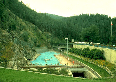
-
Article
Hydro-Québec
Hydro-Québec, a provincially owned corporation based in Montréal, is Canada's largest electric utility and, judged by assets ($30.6 billion in 1986), Canada's second largest corporation.
"https://d2ttikhf7xbzbs.cloudfront.net/media/media/6be9c93a-1849-439f-b16a-f87c91691760.jpg" // resources/views/front/categories/view.blade.php
https://d2ttikhf7xbzbs.cloudfront.net/media/media/6be9c93a-1849-439f-b16a-f87c91691760.jpg
-
Article
Hydroelectricity in Canada
Hydroelectricity is energy produced from flowing water. The amount of energy produced depends on volume and speed: the more water moving at a fast rate, the more energy produced. For this reason, many hydroelectric stations are built near waterfalls. To produce energy, water is directed toward turbines — sometimes with the help of a dam — causing them to spin. In turn, the turbines make electrical generators spin and electricity is produced. It is a renewable, comparatively nonpolluting energy source and Canada’s largest source of electric-power generation.
"https://d2ttikhf7xbzbs.cloudfront.net/media/media/0c8c9180-7dde-40c3-9b85-fcd031a4d8c4.jpg" // resources/views/front/categories/view.blade.php
https://d2ttikhf7xbzbs.cloudfront.net/media/media/0c8c9180-7dde-40c3-9b85-fcd031a4d8c4.jpg
-
Article
Ice
Ice, including snow, is the solid phase of water. It is useful to think of it this way rather than as "frozen water" because water can achieve the solid phase through the freezing of liquid water or by direct deposition (sublimation) of water vapour, its gaseous phase.
"https://d2ttikhf7xbzbs.cloudfront.net/media/media/95c32951-2343-4d6d-acfc-315bb89da7f2.jpg" // resources/views/front/categories/view.blade.php
https://d2ttikhf7xbzbs.cloudfront.net/media/media/95c32951-2343-4d6d-acfc-315bb89da7f2.jpg
-
Article
Ice Cap
Ice caps are large masses of ice that rest on land and cover most of the underlying landscape.
"https://d2ttikhf7xbzbs.cloudfront.net/media/media/8db9e099-bf02-4b3d-953a-6fdd258ef9d2.jpg" // resources/views/front/categories/view.blade.php
https://d2ttikhf7xbzbs.cloudfront.net/media/media/8db9e099-bf02-4b3d-953a-6fdd258ef9d2.jpg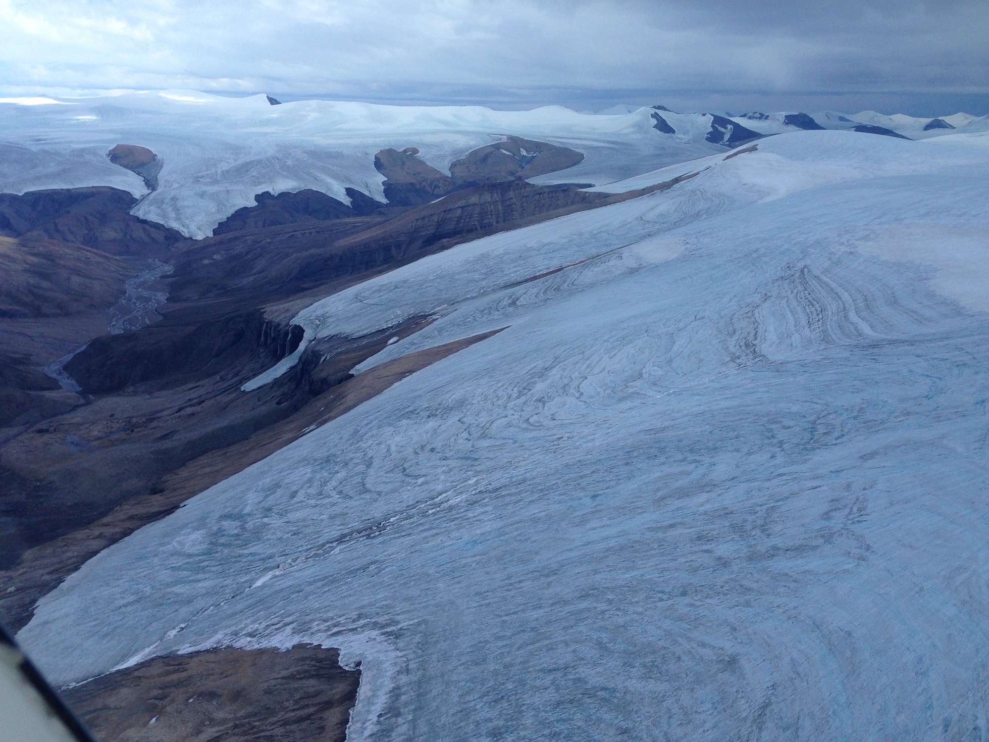
-
Article
Iceberg
An iceberg is a piece of ice that has become detached from its parent glacier by a process known as calving.
"https://d2ttikhf7xbzbs.cloudfront.net/media/media/0b282b25-029b-4fa5-85e1-aef4b1039571.jpg" // resources/views/front/categories/view.blade.php
https://d2ttikhf7xbzbs.cloudfront.net/media/media/0b282b25-029b-4fa5-85e1-aef4b1039571.jpg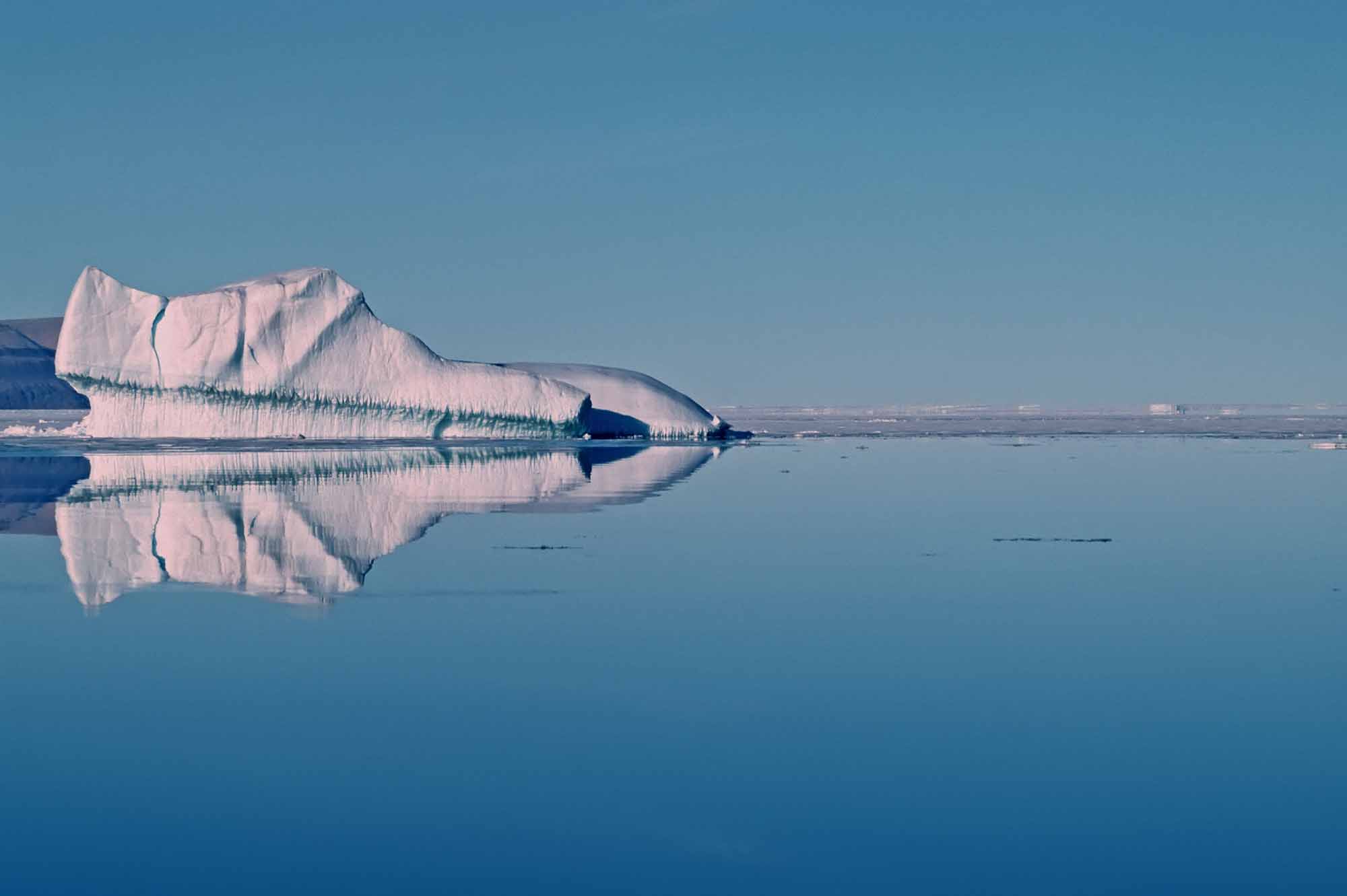
-
Article
James Bay Project
In 1971, Hydro-Québec and the government of Quebec initiated the James Bay Project, a monumental hydroelectric-power development on the east coast of James Bay. ( See also Hydroelectricity in Canada.) Over the course of two phases, a total of eight generating stations were built, allowing for the pollution-free production of a significant portion of Quebec’s electricity. However, the project also profoundly disrupted the environment and the Indigenous communities living in the region, the effects of which are still being felt today.
"https://d2ttikhf7xbzbs.cloudfront.net/media/media/33649494-8426-4ec2-8001-9f2613ea3d08.jpg" // resources/views/front/categories/view.blade.php
https://d2ttikhf7xbzbs.cloudfront.net/media/media/33649494-8426-4ec2-8001-9f2613ea3d08.jpg
-
Article
Lake Agassiz
Lake Agassiz was the largest glacial lake in North America. It was formed 11 500 years ago in front of the northeastwardly retreating Laurentide Ice Sheet, which acted as a dam.
"https://development.thecanadianencyclopedia.ca/images/tce_placeholder.jpg?v=e9dca980c9bdb3aa11e832e7ea94f5d9" // resources/views/front/categories/view.blade.php
https://development.thecanadianencyclopedia.ca/images/tce_placeholder.jpg?v=e9dca980c9bdb3aa11e832e7ea94f5d9