Land Features | The Canadian Encyclopedia

Browse "Land Features"

Displaying 31-36 of 36 results
  • Article

    Rocky Mountain Trench

    The Rocky Mountain Trench is a long and deep valley extending approximately 1,500 km from the Bitterroot Valley in northwest Montana through British Columbia to the Liard Plain just south of the Yukon Territory. Its predominantly flat floor is 3–20 km wide and ranges in elevation between 600 m and 1,000 m above sea level. With walls made of sedimentary, volcanic and igneous rock, the Trench is sometimes referred to as the “Valley of a Thousand Peaks” because of the towering mountain ranges on either side: the Rocky Mountains to the east and the Columbia, Omineca and Cassiar mountains to the west. Humans have relied on the rich resources provided by this distinctive landscape from pre-colonial times to the present.

    "https://d2ttikhf7xbzbs.cloudfront.net/media/media/061fe992-a3bf-45bc-906d-216d1bef45c7.jpg" // resources/views/front/categories/view.blade.php
    
    https://d2ttikhf7xbzbs.cloudfront.net/media/media/061fe992-a3bf-45bc-906d-216d1bef45c7.jpg Rocky Mountain Trench
  • Article

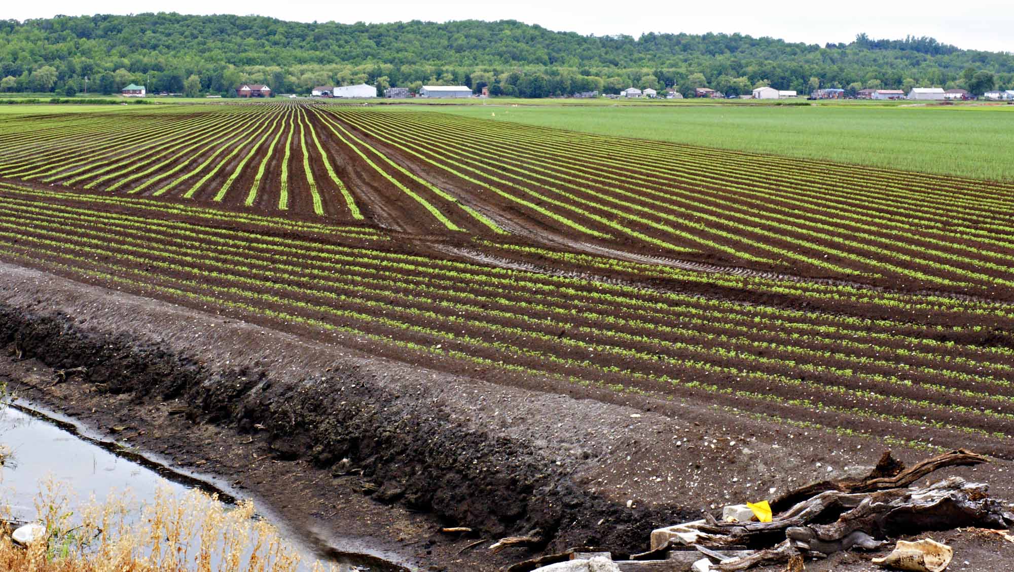
    Soil

    Soil is the thin, fragile surface layer of Earth. It is a dynamic, loose and porous body of variable thickness (between a few centimetres and a few metres). Soil is formed by continuous transformations of rock or deposit through physical, chemical and biological processes. It is one of the two main components of Earth — the other being oceans — in which life is particularly active. Soil is the source and site of many human activities, and human life greatly depends on it. In Canada, agricultural, environmental and natural-resource scientists are at the forefront of research on soil.

    "https://d2ttikhf7xbzbs.cloudfront.net/media/media/01f0989f-5102-44b1-82b6-1b7a44b8ff1d.jpg" // resources/views/front/categories/view.blade.php
    
    https://d2ttikhf7xbzbs.cloudfront.net/media/media/01f0989f-5102-44b1-82b6-1b7a44b8ff1d.jpg Soil
  • Article

    Volcano

     A volcano is an opening in the crust of a planetary body through which liquid, gaseous or solid material is expelled; also the structure formed by eruption of this material.

    "https://d2ttikhf7xbzbs.cloudfront.net/media/media/55b65d67-fab1-4bea-a12a-8d19e4088565.jpg" // resources/views/front/categories/view.blade.php
    
    https://d2ttikhf7xbzbs.cloudfront.net/media/media/55b65d67-fab1-4bea-a12a-8d19e4088565.jpg Volcano
  • Article

    Waterfall

    A waterfall is a phenomenon which occurs when water flowing in a river channel encounters a vertical or near-vertical drop in the channel bed.

    "https://d2ttikhf7xbzbs.cloudfront.net/media/media/f03ee7f1-6a31-4148-8ca4-a42264dd3a8e.jpg" // resources/views/front/categories/view.blade.php
    
    https://d2ttikhf7xbzbs.cloudfront.net/media/media/f03ee7f1-6a31-4148-8ca4-a42264dd3a8e.jpg Waterfall
  • Article

    Wetlands

    Wetlands cover about 14 per cent of the land area of Canada, and are the natural habitat of over 600 species of plants, animals and insects. In addition to providing a home for these plants and animals, wetlands are an essential part of the environment because they prevent flooding, filter toxins, store groundwater and limit erosion. The most common wetland habitats are swamps, marshes, and bogs.

    "https://d2ttikhf7xbzbs.cloudfront.net/media/media/8f198af0-74ec-4aa0-bcca-1cf75ebe8337.jpg" // resources/views/front/categories/view.blade.php
    
    https://d2ttikhf7xbzbs.cloudfront.net/media/media/8f198af0-74ec-4aa0-bcca-1cf75ebe8337.jpg Wetlands
  • Article

    Yukon River

    At 3,185 km (1,149 km of which lie in Canada), the Yukon River is among the longest rivers in the country (see also Longest Rivers in Canada). Its headwaters are in the northwest corner of British Columbia, at the province’s border with the Yukon. It flows north and northwest across the Yukon into Alaska, then west to Norton Sound on the Bering Sea. Within the large central plateau of the Yukon, ringed by the Mackenzie Mountains to the east and the St. Elias range to the southwest, the Yukon River and its tributaries form the region’s dominant drainage basin.

    "https://d2ttikhf7xbzbs.cloudfront.net/media/media/ff363965-bf2f-46bd-b393-88e9847456fa.jpg" // resources/views/front/categories/view.blade.php
    
    https://d2ttikhf7xbzbs.cloudfront.net/media/media/ff363965-bf2f-46bd-b393-88e9847456fa.jpg Yukon River