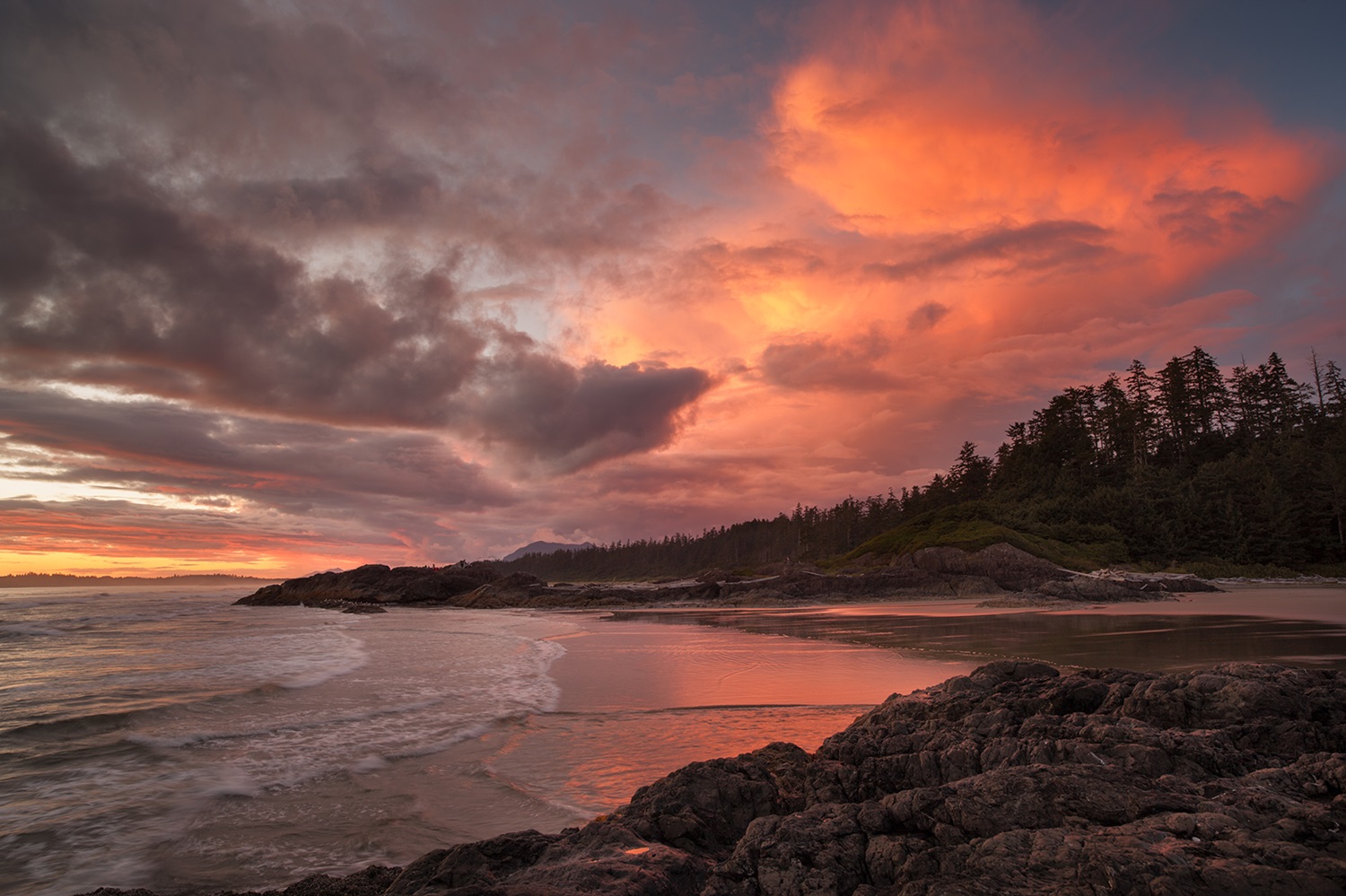
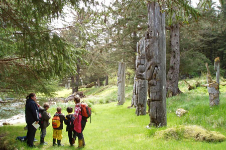
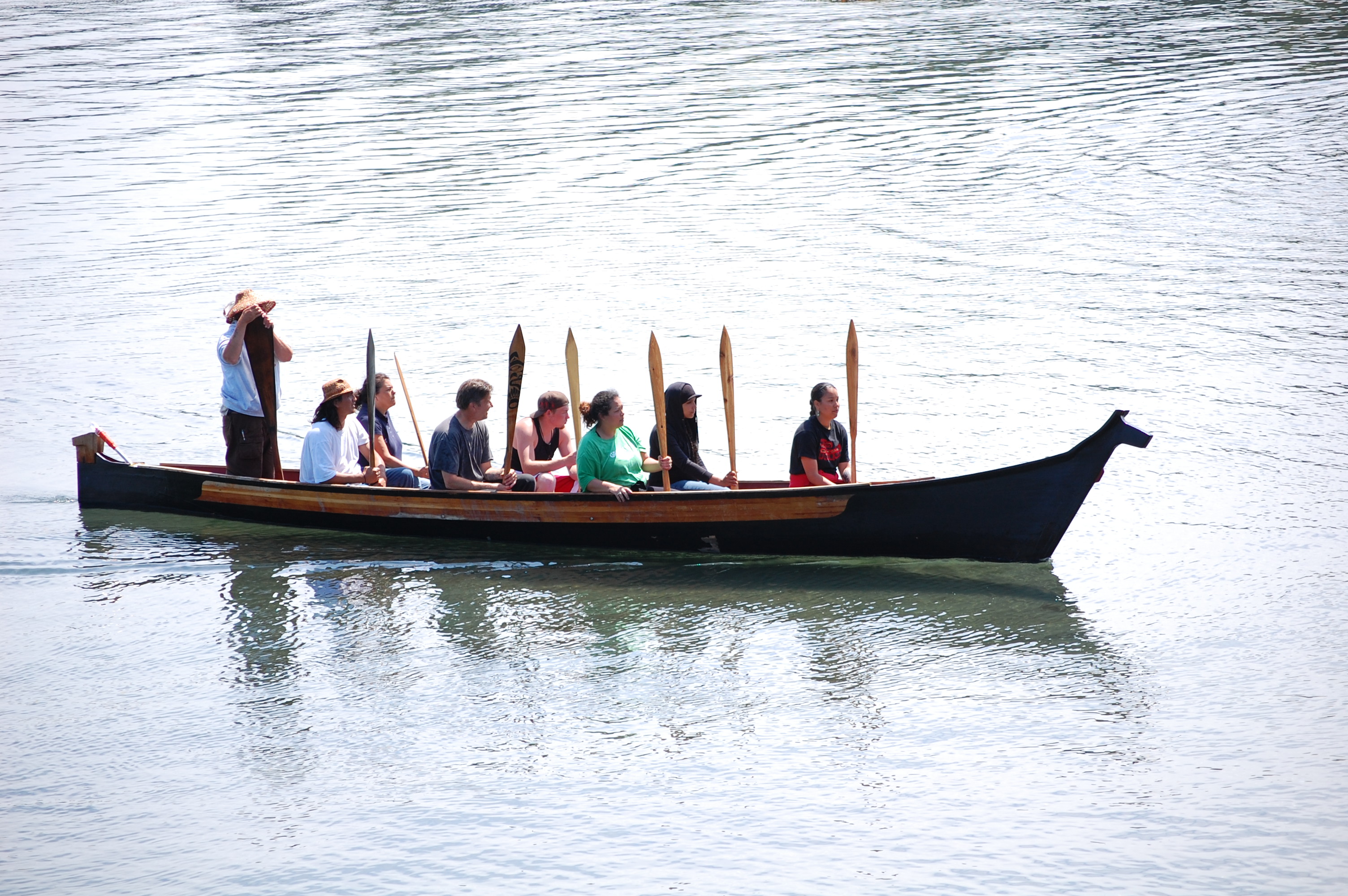
Pacific Rim National Park Reserve (285.8 km2) stretches for 105 km along the rugged west coast of Vancouver Island. Established in 1970, the Pacific Rim National Park Reserve comprises three sections: the Long Beach unit, the West Coast Trail unit and the Broken Group islands. Nestled along the southwestern coast of Vancouver Island, the National Park Reserve boasts sandy beaches and temperate rainforests. Pacific Rim National Park Reserve lies in the traditional territories of the Nuu-chah-nulth First Nations and was symbolically twinned with the Hallyo Haesang Sea National Park of Korea in 1997.
Description
Pacific Rim National Park Reserve is comprised of three sections. Long Beach unit is a 16 km sweep of surf-pounded sand and rock. The Broken Islands Group includes more than 100 islands accessible only by boat. The West Coast Trail unit is a narrow strip along 77 km of coastline that includes the challenging West Coast Trail connecting the villages of Bamfield and Port Renfrew and an inland wilderness watershed known as the Nitinat Triangle. Each unit is separate, with its own special character. The park is unique in that its boundaries extend offshore to the 10-fathom line to protect the marine environment.
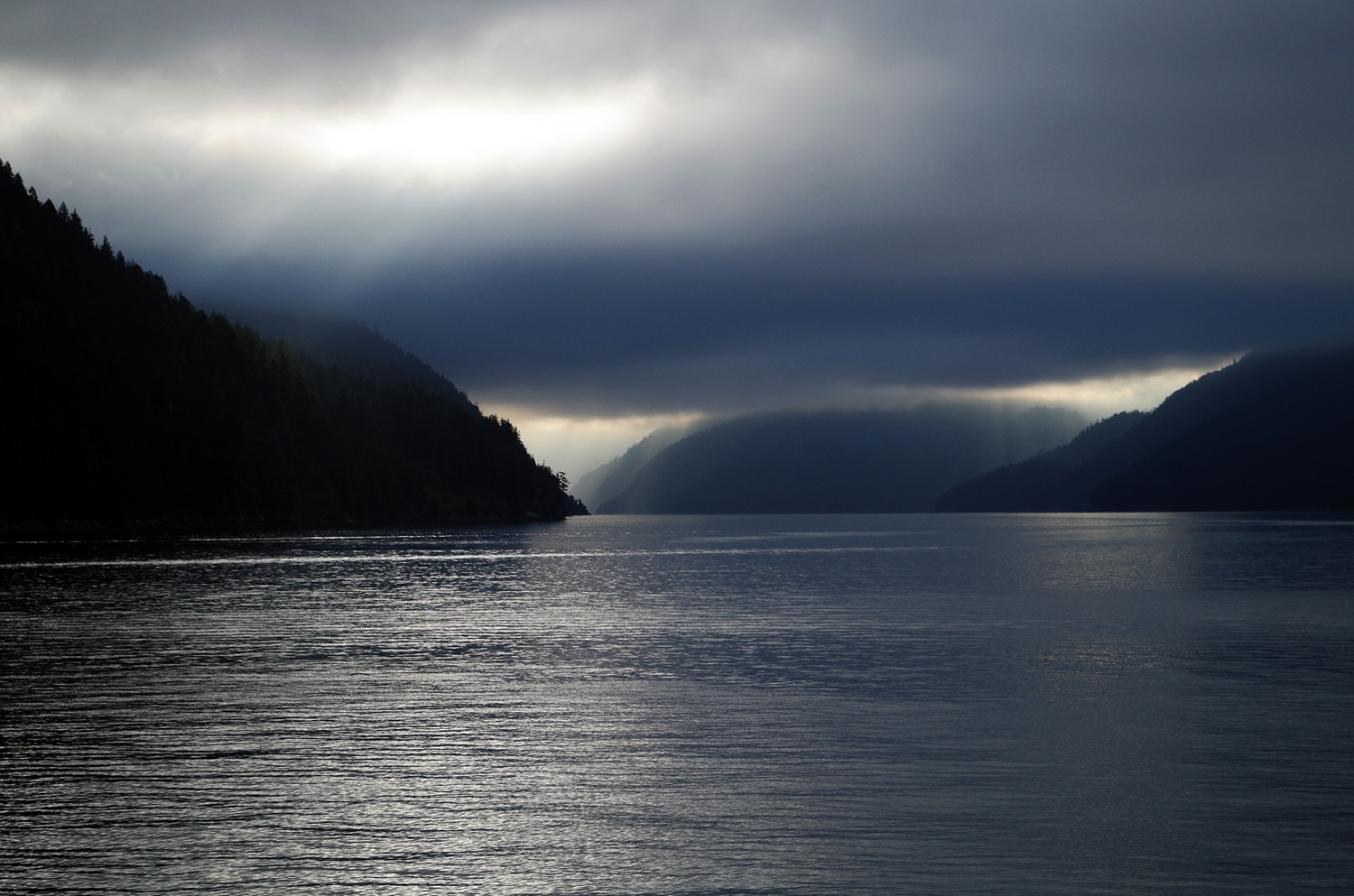
Heavy rains and mild temperatures year-round have produced a dense coastal rainforest of Sitka spruce, western hemlock, Pacific silver fir and western red cedar. The forest, framed to the west by the Pacific Ocean and to the east by rugged mountains, is home to black bears, mule deer, cougars, martens, sea otters and squirrels. Offshore, the dense forest of giant kelp is home to a wide variety of fish and invertebrates, such as the giant octopus.


 Share on Facebook
 Share on X
 Share by Email
 Share on Google Classroom


