Share on Facebook
 Share on X
 Share by Email
 Share on Google Classroom
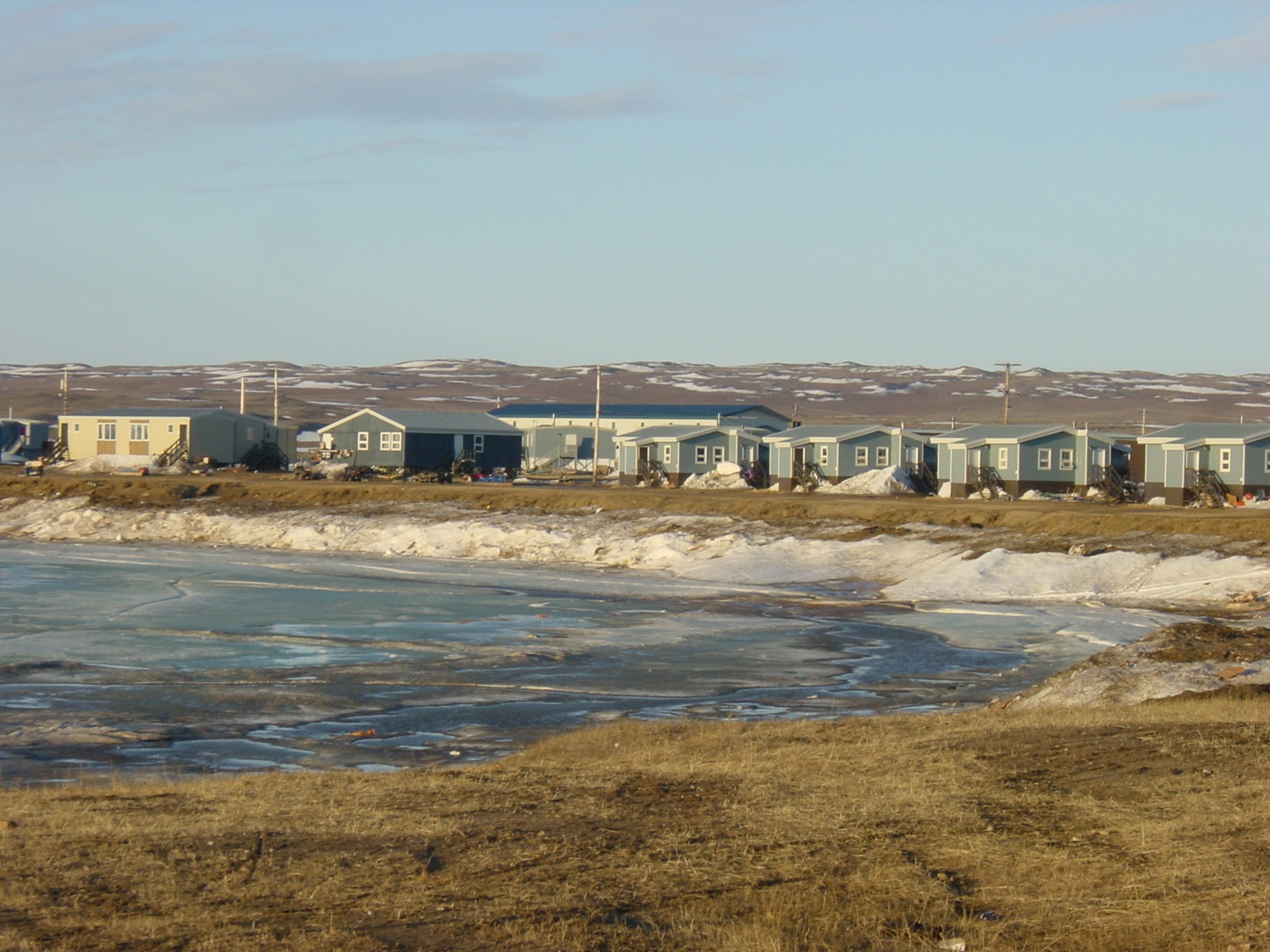
Nahanni Butte, NWT, Settlement, population 102 (2011c), 115 (2006c). The settlement of Nahanni Butte is located on the north side of the SOUTH NAHANNI RIVER near its junction with the LIARD RIVER, about 125 km north of the Northwest Territories and British Columbia border. There is no road access to the community. In winter an ice bridge road across the Liard River connects Nahanni Butte to the LIARD HIGHWAY. Named after a nearby mountain, the tiny SLAVEY Dene community is the access point for NAHANNI NATIONAL PARK RESERVE. Since the early 1900s the area has been haunted by rumours of a lost gold mine, and 25 deaths and mysterious disappearances have been reported. The site became settled in the late 1950s when the government relocated people from a settlement at Netla River, 24 km away.
-
- MLA 8TH EDITION
- Pool, Annelies. "Nahanni Butte". The Canadian Encyclopedia, 04 March 2015, Historica Canada. development.thecanadianencyclopedia.ca/en/article/nahanni-butte. Accessed 18 February 2026.
- Copy
-
- APA 6TH EDITION
- Pool, A. (2015). Nahanni Butte. In The Canadian Encyclopedia. Retrieved from https://development.thecanadianencyclopedia.ca/en/article/nahanni-butte
- Copy
-
- CHICAGO 17TH EDITION
- Pool, Annelies. "Nahanni Butte." The Canadian Encyclopedia. Historica Canada. Article published September 27, 2012; Last Edited March 04, 2015.
- Copy
-
- TURABIAN 8TH EDITION
- The Canadian Encyclopedia, s.v. "Nahanni Butte," by Annelies Pool, Accessed February 18, 2026, https://development.thecanadianencyclopedia.ca/en/article/nahanni-butte
- Copy
Thank you for your submission
Our team will be reviewing your submission
and get back to you with any further questions.
Thanks for contributing to The Canadian Encyclopedia.
CloseArticle
Nahanni Butte
Article by Annelies Pool
Published Online September 27, 2012
Last Edited March 4, 2015
Nahanni Butte, NWT, Settlement, population 102 (2011c), 115 (2006c). The settlement of Nahanni Butte is located on the north side of the SOUTH NAHANNI RIVER near its junction with the LIARD RIVER, about 125 km north of the Northwest Territories and British Columbia border.