Browse "Cities & Populated Places"
-
Article
Loretteville
Loretteville, QC, is a neighbourhood in Quebec City. Incorporated as a town in 1947, Loretteville amalgamated with Quebec City in 2002. Loretteville is located about 15 km northwest of downtown Quebec City, on the banks of Rivière Saint-Charles. It is often mistaken for the Huron-Wendat or Wendake reserve, an enclave within Loretteville (see also Reserves in Quebec).
"https://development.thecanadianencyclopedia.ca/images/tce_placeholder.jpg?v=e9dca980c9bdb3aa11e832e7ea94f5d9" // resources/views/front/categories/view.blade.php
https://development.thecanadianencyclopedia.ca/images/tce_placeholder.jpg?v=e9dca980c9bdb3aa11e832e7ea94f5d9
-
Article
Lorraine
Carved out of Bois-des-Filion, SAINTE-THÉRÈSE and ROSEMÈRE, Lorraine was set up as an ecologically sensitive, single-family dwelling, residential community by Anchor Investments Limited.
"https://d2ttikhf7xbzbs.cloudfront.net/media/media/ec9ac870-e07d-4155-ba11-1b97e5a4ac99.jpg" // resources/views/front/categories/view.blade.php
https://d2ttikhf7xbzbs.cloudfront.net/media/media/ec9ac870-e07d-4155-ba11-1b97e5a4ac99.jpg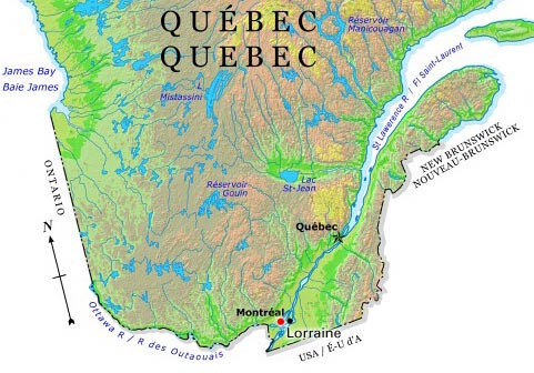
-
Article
Lower Canada
Lower Canada was a British colony from 1791 to 1840. Its geographical boundaries comprised the southern portion of present-day Quebec. In 1791, Britain divided the Province of Quebec into Upper Canada and Lower Canada. (See: Constitutional Act 1791.) Britain had followed a similar policy of territorial division twice before. Prince Edward Island was detached from Nova Scotia in 1769. The provinces of Cape Breton and New Brunswick were created in 1784 in response to the wave of Loyalist immigration (which also occurred in Quebec). In 1841, Upper Canada and Lower Canada were renamed Canada West and Canada East, respectively. They were united as the single colony of the Province of Canada.
"https://d2ttikhf7xbzbs.cloudfront.net/media/media/0a40188b-4ef4-4e9e-90bb-ec21d39c1c45.jpg" // resources/views/front/categories/view.blade.php
https://d2ttikhf7xbzbs.cloudfront.net/media/media/0a40188b-4ef4-4e9e-90bb-ec21d39c1c45.jpg
-
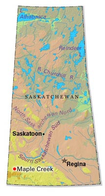
Article
Lumsden
Lumsden, Sask, incorporated as a town in 1905, population 1631 (2011c), 1523 (2006c). The Town of Lumsden is located 26 km northeast of REGINA, nestled in the rolling terrain of the QU'APPELLE RIVER valley. The first settlers arrived in 1881 and named their community Happy Hollow.
"https://development.thecanadianencyclopedia.ca/images/tce_placeholder.jpg?v=e9dca980c9bdb3aa11e832e7ea94f5d9" // resources/views/front/categories/view.blade.php
https://development.thecanadianencyclopedia.ca/images/tce_placeholder.jpg?v=e9dca980c9bdb3aa11e832e7ea94f5d9
-
Article
Lunenburg
Lunenburg, Nova Scotia, incorporated as a town in 1888, population 2,405 (2021 census), 2,262 (2016 census). The town of Lunenburg, the seat of Lunenburg County, is located on Lunenburg Bay, 90 km southwest of Halifax.
"https://d2ttikhf7xbzbs.cloudfront.net/media/media/814a3eda-73fc-4887-bc3d-07de96548d81.jpg" // resources/views/front/categories/view.blade.php
https://d2ttikhf7xbzbs.cloudfront.net/media/media/814a3eda-73fc-4887-bc3d-07de96548d81.jpg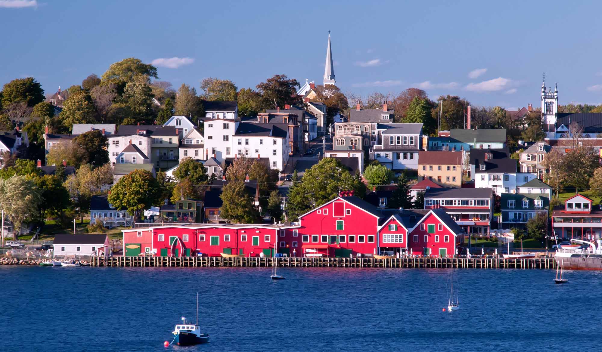
-
Article
Lynn Lake
Lynn Lake, Manitoba, incorporated as a town in 1997, population 482 (2011c), 714 (2006c). The Town of Lynn Lake is a community located 1066 km by road northwest of Winnipeg on the Canadian SHIELD.
"https://development.thecanadianencyclopedia.ca/images/tce_placeholder.jpg?v=e9dca980c9bdb3aa11e832e7ea94f5d9" // resources/views/front/categories/view.blade.php
https://development.thecanadianencyclopedia.ca/images/tce_placeholder.jpg?v=e9dca980c9bdb3aa11e832e7ea94f5d9
-
Article
Lytton
Lytton, British Columbia, incorporated as a village in 1945, population 249 (2016 census), 228 (2011 census). The village of Lytton is located on the Trans-Canada Highway, 260 km northeast of Vancouver, at the junction of the Thompson and Fraser rivers. This is one of the driest and warmest spots in Canada.
"https://d2ttikhf7xbzbs.cloudfront.net/media/media/597fe6e1-a416-4a06-8227-f84345c5562b.jpg" // resources/views/front/categories/view.blade.php
https://d2ttikhf7xbzbs.cloudfront.net/media/media/597fe6e1-a416-4a06-8227-f84345c5562b.jpg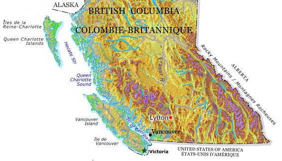
-
Article
Mackenzie
Mackenzie, BC, incorporated as a district municipality in 1966, population 3507 (2011c), 4539 (2006c). The District of Mackenzie is situated in northern British Columbia near the south end of Williston Lake in the Rocky Mountain Trench.
"https://development.thecanadianencyclopedia.ca/images/tce_placeholder.jpg?v=e9dca980c9bdb3aa11e832e7ea94f5d9" // resources/views/front/categories/view.blade.php
https://development.thecanadianencyclopedia.ca/images/tce_placeholder.jpg?v=e9dca980c9bdb3aa11e832e7ea94f5d9
-
Article
Magog
In 1888 the village of Magog separated from the municipality of Magog Township (established 1855) and soon incorporated as a town.
"https://development.thecanadianencyclopedia.ca/images/tce_placeholder.jpg?v=e9dca980c9bdb3aa11e832e7ea94f5d9" // resources/views/front/categories/view.blade.php
https://development.thecanadianencyclopedia.ca/images/tce_placeholder.jpg?v=e9dca980c9bdb3aa11e832e7ea94f5d9
-
Article
Mahone Bay
Mahone Bay, NS, incorporated as a town in 1919, population 943 (2011c), 904 (2006c). The Town of Mahone Bay is located on the "Lighthouse Route" of Nova Scotia's southern shore, 10 km northwest of LUNENBURG.
"https://development.thecanadianencyclopedia.ca/images/tce_placeholder.jpg?v=e9dca980c9bdb3aa11e832e7ea94f5d9" // resources/views/front/categories/view.blade.php
https://development.thecanadianencyclopedia.ca/images/tce_placeholder.jpg?v=e9dca980c9bdb3aa11e832e7ea94f5d9
-
Article
Malartic
Malartic, Qué, Town, pop 3640 (2006c), 3704 (2001c), inc 1939. Malartic is located 70 km east of ROUYN-NORANDA in northwestern Québec. It was established by Québec's Ministry of Mines, which hoped to end the
"https://development.thecanadianencyclopedia.ca/images/tce_placeholder.jpg?v=e9dca980c9bdb3aa11e832e7ea94f5d9" // resources/views/front/categories/view.blade.php
https://development.thecanadianencyclopedia.ca/images/tce_placeholder.jpg?v=e9dca980c9bdb3aa11e832e7ea94f5d9
-
Article
Manitouwadge
Manitouwadge, Ont, incorporated as a township in 1975, population 2105 (2011c), 2300 (2006c). The Township of Manitouwadge is located in northwestern Ontario 397 km northeast of Thunder Bay.
"https://development.thecanadianencyclopedia.ca/images/tce_placeholder.jpg?v=e9dca980c9bdb3aa11e832e7ea94f5d9" // resources/views/front/categories/view.blade.php
https://development.thecanadianencyclopedia.ca/images/tce_placeholder.jpg?v=e9dca980c9bdb3aa11e832e7ea94f5d9
-
Article
Maniwaki
The Oblate Fathers founded the mission Notre-Dame du Désert in 1849. Soon after, many settlers moved into the area, drawn by the forest's economic potential. A forest industry was established and provided the livelihood for the residents of the region. In 1851, Maniwaki was declared a parish.
"https://development.thecanadianencyclopedia.ca/images/tce_placeholder.jpg?v=e9dca980c9bdb3aa11e832e7ea94f5d9" // resources/views/front/categories/view.blade.php
https://development.thecanadianencyclopedia.ca/images/tce_placeholder.jpg?v=e9dca980c9bdb3aa11e832e7ea94f5d9
-
Article
Manning
Manning, Alta, incorporated as a village in 1951 and as a town in 1957, population 1164 (2011c), 1493 (2006c). The Town of Manning lies beside the Notikewin River, 73 km north of the town of PEACE RIVER.
"https://development.thecanadianencyclopedia.ca/images/tce_placeholder.jpg?v=e9dca980c9bdb3aa11e832e7ea94f5d9" // resources/views/front/categories/view.blade.php
https://development.thecanadianencyclopedia.ca/images/tce_placeholder.jpg?v=e9dca980c9bdb3aa11e832e7ea94f5d9
-
"https://d2ttikhf7xbzbs.cloudfront.net/media/media/2d7c0cab-1898-47f5-94ff-721ef9abf7a6.jpg" // resources/views/front/categories/view.blade.php
https://d2ttikhf7xbzbs.cloudfront.net/media/media/2d7c0cab-1898-47f5-94ff-721ef9abf7a6.jpg