Geography
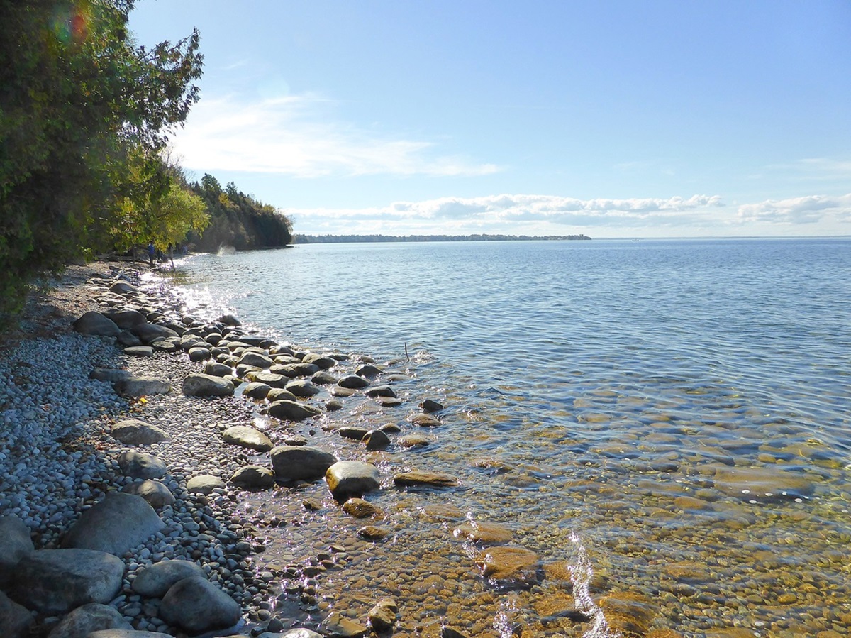
Lake Nipissing, located on the Canadian Shield, drains a watershed of 13,100 km2 through 12 major rivers, the largest being the Sturgeon River. The lake is the remains of a glacial lake that was created when the ice from the Wisconsinan glaciation began to retreat for the last time in 8,400 BCE.
There are four provincial parks in and around Lake Nipissing; West Sandy Island and Manitou Islands are located within the lake, while Mashkinonje and South Bay are located on its shores. The area surrounding Lake Nipissing is in the transitional zone between the boreal forest to the north and the Great Lakes-St. Lawrence forest to the south. North Bay is the largest community on the lake followed by West Nipissing.
Lake Nipissing is located on the traditional territory of the Anishinaabe, specifically Ojibwa and Algonquin peoples. Today, there are two First Nation communities located around the lake, Nipissing First Nation on the north shore and the Dokis First Nation in the south.
Flora and Fauna
Lake Nipissing is a shallow lake with a highly productive ecosystem. Supporting 44 species of fish, the lake is dominated by walleye, yellow perch and northern pike. As a result, Lake Nipissing is the seventh most fished lake in Ontario, accounting for 5 per cent of all angling in the province in 2010. The Manitou Islands of Lake Nipissing provide habitat for more than 50 species of breeding birds such as great blue heron and osprey. The more than 6,650 hectares of wetlands that surround the lake are also home to numerous species, including beaver, mink and muskrat. Moose, white tailed deer and pileated woodpeckers are among the many animals that live in the forest around the lake. The Nipissing Forest is largely comprised of maple, though it includes large quantities of birch, hemlock, beech, balsam fir and white spruce. Along the shores of Lake Nipissing, aspens are also common.
Environmental Concerns
Lake Nipissing faces several environmental concerns, including a decline in the walleye fishery, invasive species and blue-green algal blooms. Walleye stock have declined because of overfishing, higher populations of yellow perch (a predator of walleye) and the introduction of the spiny water flea, an invertebrate that consumes zooplankton at the bottom of the food web affecting higher-level predators such as walleye.
To improve walleye stock, harvesting of other fish species, such as large and smallmouth bass and yellow perch, has increased. Regulations for harvesting walleye have also become stricter, including a new minimum catch size to protect young fish. Additionally, the Nipissing First Nation, who fish for sustenance and are exempt from provincial regulations, briefly closed their fishery in 2015. In 2016, they signed the Lake Nipissing Memorandum of Understanding, an agreement that included a temporary moratorium on the cultural practice of spear fishing. (See also Rights of Indigenous Peoples in Canada.)
Blue-green algal blooms occur in the bays of Lake Nipissing as a result of a number of factors. An important factor is the amount of phosphorus in the water, as the cyanobacteria responsible for algal blooms feed on phosphorus. Elevated concentrations of phosphorus are largely attributable to byproducts of human settlement such as sewage and runoff from urban and agricultural sources (see Water Pollution). However, a lack of oxygen at the bottom of the lake can also contribute, as it leads to the release of phosphorous trapped in sediments. Phosphorus concentration alone does not account for the extent and frequency of recent algal blooms in Lake Nipissing, which are likely linked to the warming climate. Callander Bay’s algal blooms are of the biggest concern as the community uses the bay for its drinking water and the blooms can be toxic.
History
Historically, Lake Nipissing was occupied by the Nbisiing, members of the larger Ojibwa and Algonquin cultural groups, for thousands of years prior to contact with Europeans. Frank Bay, an important archeological site located near the French River, contains layers of artifacts left by seasonal settlements dating back at least 3,000 years. Additionally, the Manitou Islands have been occupied seasonally by the Nipissing for over 2,000 years due to the abundance of natural resources present. The Nbisiing were traders of fish and fur harvested from their territory around Lake Nipissing. They traded with other First Nations and later with the French and English. Regional trade routes formed a junction at Lake Nipissing, with the French River leading to Georgian Bay in the west and the Mattawa River leading to the Ottawa River system in the east.
In 1610, French explorer Étienne Brûlé was the first European to travel this route, which European fur traders would follow for 200 years. The first permanent European settlement on Lake Nipissing, Nipissing Village, was formed in 1874. Following the completion of the Canadian Pacific Railway line leading to North Bay in 1882, settlers began to arrive in this area. Beginning in 1881 and peaking between 1920 and the mid-1930s, steamships made Lake Nipissing a major transportation route for settlers and logging. The steamship era ended with the arrival of diesel engines; the first large diesel-powered vessel to navigate the lake was the Chief Commanda in 1946. Today, the Chief Commanda is used in North Bay as a seasonal restaurant and attraction. The Chief Commanda II, a passenger catamaran, continues to operate on the lake.

 Share on Facebook
 Share on X
 Share by Email
 Share on Google Classroom


