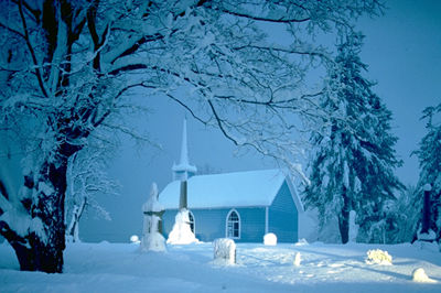
During the prolonged darkness of winter, the air over the huge snow- and ice-covered surfaces of Canada may stagnate for weeks, radiating heat to outer space.
An atmospheric inversion (where temperatures increase rather than decrease with height) covers the entire Arctic region for much of the winter. As an arctic high pressure intensifies, cold air naturally moves to areas of lower pressure and pushes southward across the middle of the continent. Often a low pressure system moving from the West will draw the cold arctic air into the rear of a developing storm, causing strong winds, blowing snow and rapidly falling temperatures. These cold fronts curve across the Prairies and cause most of the winter weather in central and Eastern Canada. Only Vancouver Island and the southwest coast of British Columbia have average winter temperatures above the freezing mark.
Lowest Temperature
Snag, Yukon, has the dubious distinction of recording the lowest temperature in Canada at -62.8° C on 3 February 1947. For more than a week before that day, cold air from northeastern Siberia stalled over the Yukon. Skies were clear, winds calm, visibility unlimited and 38 cm of snow lay on the ground. An exhaled breath of air made a hissing sound as it froze and created vapour trails that extended 100-500 m above the ground for 3-4 minutes before disappearing. Exposed skin froze in less than 3 minutes.
Coldest Average Annual Temperature
Eureka, on Ellesmere Island, Nunavut, is Canada's coldest weather station. The average annual temperature is -19.9° C, but in February, usually the coldest month, Eureka's average temperature is -38.4° C. In February 1979, it recorded the lowest average monthly temperature ever in Canada or North America, a numbing -47.9° C. For 18 days, the thermometer stayed below -45° C. On February 15, the station also eclipsed its previous all-time low with a reading of -55.3° C.
Myths and Legends
A long-standing cold weather legend is that the coldest corner in Canada is at Portage Ave and Main St in downtown Winnipeg. The truth is, there are no official temperature measurements at any street corner in Canada to confirm the coldest intersection. Winnipeg's city centre is usually 3-4° warmer than the airport, owing to the urban heat island effect. The lowest reading at the airport was -45.0° C on 18 February 1966, but airports in Edmonton, Regina and Saskatoon have all recorded lower readings.
Another cold Canadian weather myth purports that White River, Ont, is the coldest place in Canada. White River is not even the coldest place in Ontario, let alone Canada. That notoriety belongs to Iroquois Falls which, at -58.3° C (23 January 1935) has the lowest temperature reported in Eastern Canada. White River's record low temperature looks almost mild by comparison at -51.7° C, recorded on 23 January 1935 - the eighth coldest reading in Ontario.
Its reputation for coldest area is probably based on the fact that for many years White River was "the coldest in the nation today" of the handful of stations reporting daily temperature extremes in newspapers and on radio. Temperatures from the 2500 volunteer observing stations, however, were not available for daily broadcast because the observers mailed their records of extremes to Environment Canada only once a month.
Cold Weather Superlatives
Cold weather superlatives abound in Canada. For example, of cities in the world over a population of 500 000, Winnipeg has the coldest midwinter temperature. Ottawa is the second coldest national capital, next to Ulaanbaatar, Mongolia. Canada is the coldest country in the world: average all the daily temperature observations year-round and you get a chilling -5.6° C.
See also Climate; Climate Severity; High Arctic Weather Stations; and Urban Effect on Climate.

 Share on Facebook
 Share on X
 Share by Email
 Share on Google Classroom


