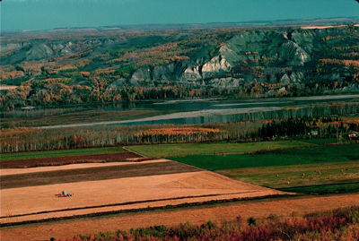
Labrador Highlands
Labrador Highlands extend 400 km south from Cape Chidley, at the northern tip of LABRADOR, almost to NAIN. The uninhabited highlands contain 3 mountain groups: the TORNGAT, Kaumajet (Inuktitut, "shining top") and Kiglapait ("saw-tooth"). The highest summits are Mount Caubvick (1652 m) in the Torngat, Brave Mountain (1220 m) in the Kaumajet and Man O'War Peak (1050 m), which rises just south of the main range of the Kiglapait.Formed of ancient Precambrian rocks and heavily glaciated during the Quaternary (1.65 million to 10 000 years ago), the mountains support more than 70 small glaciers, the southernmost in eastern North America. Bold cliffs fall sheer to the LABRADOR SEA or the narrow water of FJORDS, while the valleys support only arctic vegetation and wildlife.

 Share on Facebook
 Share on X
 Share by Email
 Share on Google Classroom

