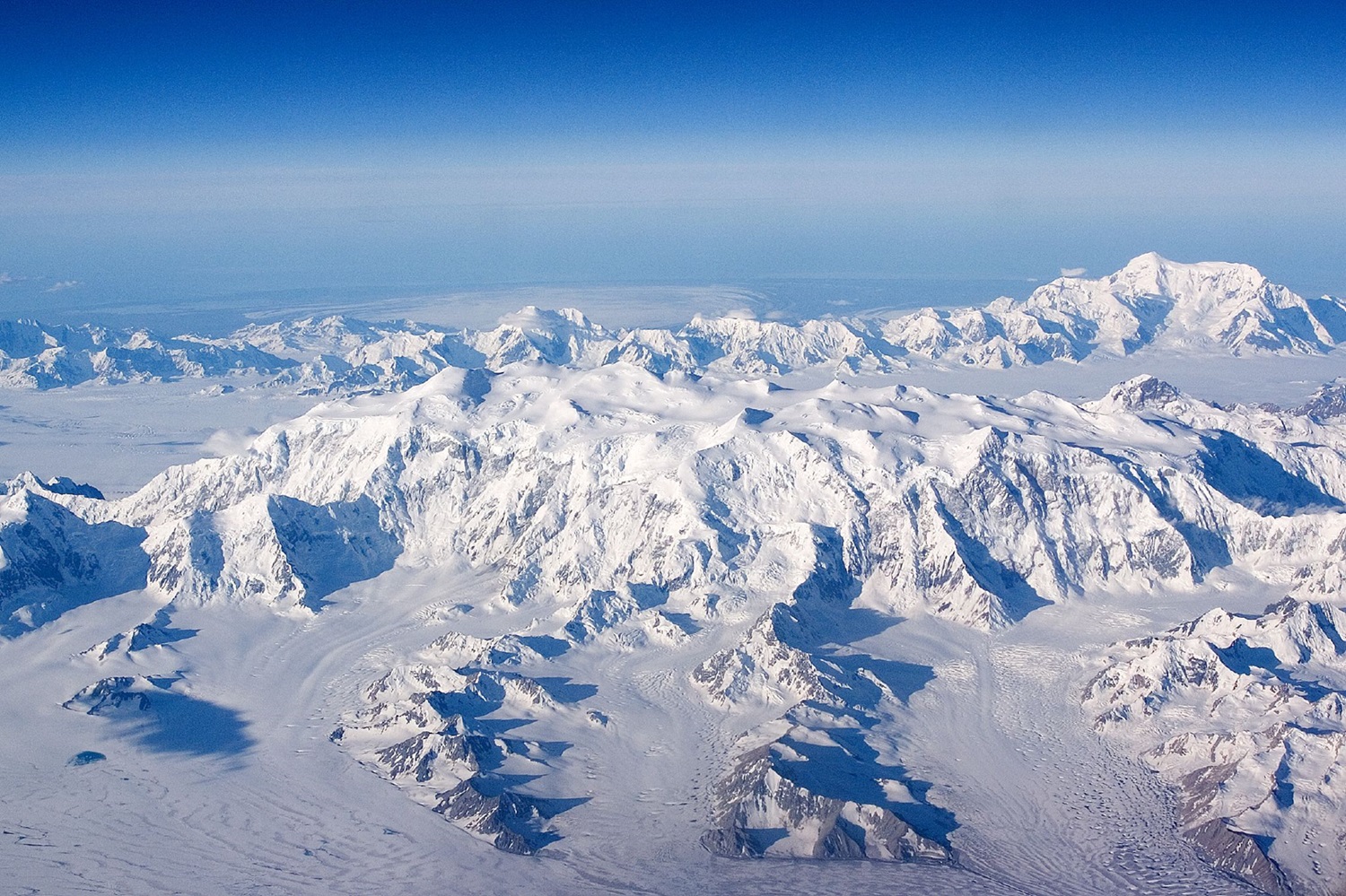
The Long Range Mountains are the highest and most extensive mountain range of insular Newfoundland, extending more than 500 km along the island's west coast, up the Great Northern Peninsula from Cape Ray in the south. A part of the Canadian Appalachians, the Long Range Mountains are an average 610 m high; the Lewis Hills at an elevation of 814 m, the south-central portion of the range, are the highest on the island.
The range, generally steep on the coastal side and scarred by deep glaciation and faulting, reaches highland plateaus and flat-topped peaks before sloping away more gently to the east. In places deep fjords and bays cut into its base, and rivers, such as the HUMBER RIVER, flow through its valleys. GROS MORNE NATIONAL PARK, north of CORNER BROOK, contains some of the mountain range's most spectacular vistas.

 Share on Facebook
 Share on X
 Share by Email
 Share on Google Classroom


