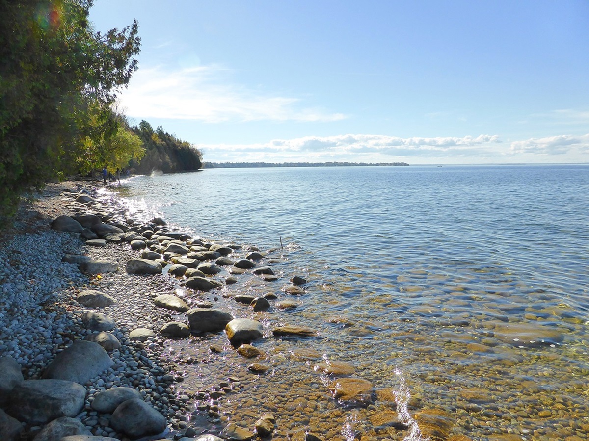
Southern Indian Lake, 2015 km2, elev 254 m, max length 146 km, is located in north-central Manitoba. Together with its eastern neighbour, the much smaller Northern Indian Lake, Southern Indian Lake is an expansion of the Churchill River, which drains it in a northeasterly direction and eventually empties into the west side of Hudson Bay. The lake has a heavily indented shoreline and is dotted with many small islands.
Southern Indian Lake appears on Peter Fidler's map (1814) and is probably named after the "Southern Indians "or Cree. The Cree called the lake missi sakahigan, which means "big lake. "
A Hudson's Bay Company fur-trading post was established at South Indian Lake, a settlement on the south shore, which became one of the most important arteries in the fur trade. The community was relocated in 1975 when the north end of the lake was dammed by Manitoba Hydro for diverting the flow of the Churchill River into the Nelson River. The water level of the lake was raised 3 m, causing increased turbidity - due to bank erosion - and mercury contamination. These factors led to the collapse of the commercial whitefish fishery of the lake.

 Share on Facebook
 Share on X
 Share by Email
 Share on Google Classroom


