Browse "Places"
-
Article
Rivière Saint-François
Rivière Saint-François, 280 km long, drainage basin 10 230 km2, is located in southern Québec.
"https://development.thecanadianencyclopedia.ca/images/tce_placeholder.jpg?v=e9dca980c9bdb3aa11e832e7ea94f5d9" // resources/views/front/categories/view.blade.php
https://development.thecanadianencyclopedia.ca/images/tce_placeholder.jpg?v=e9dca980c9bdb3aa11e832e7ea94f5d9
-
Article
Rivière Saint-Maurice
Rivière Saint-Maurice, 563 km long, rises upstream from Réservoir Gouin, 200 km west of Lac Saint-Jean, Québec. It drains a basin of 43 300 km2. After its confluence with Rivière Manouane, it feeds Réservoir Blanc and then takes in the Vermillon, Trenche, Croche, Mattawin and Mékinac rivers.
"https://d2ttikhf7xbzbs.cloudfront.net/media/media/26ddf9e4-78b9-4850-b1ab-94971048ce2e.jpg" // resources/views/front/categories/view.blade.php
https://d2ttikhf7xbzbs.cloudfront.net/media/media/26ddf9e4-78b9-4850-b1ab-94971048ce2e.jpg
-
Article
Roads and Highways
Canada's first highways were the rivers and lakes used by Indigenous peoples, travelling by canoe in summer and following the frozen waterways in winter. (See also Birchbark Canoe; Dugout Canoe.) The water network was so practical that explorers, settlers and soldiers followed the example of the Indigenous peoples. (See also Coureurs des bois; Voyageurs.) To a greater extent than most other countries, Canada depends for its social, economic and political life on efficient communication and transportation. (See also Economy; Politics.)
"https://d2ttikhf7xbzbs.cloudfront.net/media/media/a2f5cb61-ed14-46ed-9cea-f9bdc1ee18bd.jpg" // resources/views/front/categories/view.blade.php
https://d2ttikhf7xbzbs.cloudfront.net/media/media/a2f5cb61-ed14-46ed-9cea-f9bdc1ee18bd.jpg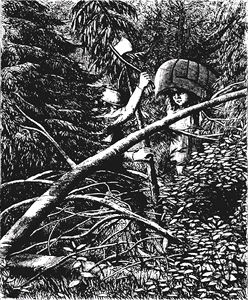
-
Article
Robert McLaughlin Gallery
The Robert McLaughlin Gallery (formerly the Art Gallery of Oshawa) was established by a group of artists and citizens of Oshawa, Ont, in February 1967.
"https://d2ttikhf7xbzbs.cloudfront.net/media/media/360eeafe-8a5c-47a2-b469-9a1795ebcf9e.jpg" // resources/views/front/categories/view.blade.php
https://d2ttikhf7xbzbs.cloudfront.net/media/media/360eeafe-8a5c-47a2-b469-9a1795ebcf9e.jpg
-
Article
Roberval
A navigation centre for the lake and an internationally renowned summer resort until the early 20th century, Roberval also had a few sawmills. The Ursulines built their provincial convent here in 1882. A hospital was added in 1918.
"https://development.thecanadianencyclopedia.ca/images/tce_placeholder.jpg?v=e9dca980c9bdb3aa11e832e7ea94f5d9" // resources/views/front/categories/view.blade.php
https://development.thecanadianencyclopedia.ca/images/tce_placeholder.jpg?v=e9dca980c9bdb3aa11e832e7ea94f5d9
-
Article
Roblin
Roblin, Manitoba, incorporated as a village in 1913 and as a town in 1963, population 1774 (2011c), 1672 (2006c). The Town of Roblin is situated on Goose Lake 400 km northwest of Winnipeg near the Manitoba-Saskatchewan border.
"https://d2ttikhf7xbzbs.cloudfront.net/media/media/4bdc8f29-c5bc-4346-8b69-eacb517ce926.jpg" // resources/views/front/categories/view.blade.php
https://d2ttikhf7xbzbs.cloudfront.net/media/media/4bdc8f29-c5bc-4346-8b69-eacb517ce926.jpg
-
Article
Rockwood
Rockwood, Manitoba, incorporated as a rural municipality in 1880, population 7964 (2011c), 7692 (2006c). The Rural Municipality of Rockwood is located north of Winnipeg; it includes the communities of Stony Mountain, Grosse Isle, Argyle, Balmoral, Gunton and Komarno.
"https://development.thecanadianencyclopedia.ca/images/tce_placeholder.jpg?v=e9dca980c9bdb3aa11e832e7ea94f5d9" // resources/views/front/categories/view.blade.php
https://development.thecanadianencyclopedia.ca/images/tce_placeholder.jpg?v=e9dca980c9bdb3aa11e832e7ea94f5d9
-
Article
Rocky Mountain House
Rocky Mountain House, Alberta, incorporated as a town in 1939, population 6,635 (2016 census), 6,933 (2011 census). The town of Rocky Mountain House is located on the North Saskatchewan River, 81 km west of Red Deer. It is near the site of the North West Company’s fur trade post of the same name.
"https://d2ttikhf7xbzbs.cloudfront.net/media/new_article_images/RockyMountainHouse/c007376.jpg" // resources/views/front/categories/view.blade.php
https://d2ttikhf7xbzbs.cloudfront.net/media/new_article_images/RockyMountainHouse/c007376.jpg
-
Article
Rocky Mountain House National Historic Site
Rocky Mountain House National Historic Site, near Rocky Mountain House, Alberta, commemorates a series of fur-trade posts built between 1799 and 1864 by the North West Co and the Hudson's Bay Co (HBC) near the junction of the North Saskatchewan and Clearwater rivers.
"https://development.thecanadianencyclopedia.ca/images/tce_placeholder.jpg?v=e9dca980c9bdb3aa11e832e7ea94f5d9" // resources/views/front/categories/view.blade.php
https://development.thecanadianencyclopedia.ca/images/tce_placeholder.jpg?v=e9dca980c9bdb3aa11e832e7ea94f5d9
-
Article
Rocky Mountain Trench
The Rocky Mountain Trench is a long and deep valley extending approximately 1,500 km from the Bitterroot Valley in northwest Montana through British Columbia to the Liard Plain just south of the Yukon Territory. Its predominantly flat floor is 3–20 km wide and ranges in elevation between 600 m and 1,000 m above sea level. With walls made of sedimentary, volcanic and igneous rock, the Trench is sometimes referred to as the “Valley of a Thousand Peaks” because of the towering mountain ranges on either side: the Rocky Mountains to the east and the Columbia, Omineca and Cassiar mountains to the west. Humans have relied on the rich resources provided by this distinctive landscape from pre-colonial times to the present.
"https://d2ttikhf7xbzbs.cloudfront.net/media/media/061fe992-a3bf-45bc-906d-216d1bef45c7.jpg" // resources/views/front/categories/view.blade.php
https://d2ttikhf7xbzbs.cloudfront.net/media/media/061fe992-a3bf-45bc-906d-216d1bef45c7.jpg
-
Article
Canadian Rocky Mountains
The Canadian Rocky Mountains, or Canadian Rockies, are the Canadian section of the North American Rocky Mountains, a mountain range in western North America which extends from New Mexico in the south to Alaska in the North. Stretching across much of the British Columbia-Alberta boundary, the Rockies are bounded by the prairies to the east. The tallest peak is Mount Robson, with an elevation of 3,954 m. Many of the national parks in these mountains, such as Banff National Park, Jasper National Park, Yoho National Park, Kootenay National Park and Waterton-Glacier International Peace Park are UNESCO World Heritage Sites.
"https://d2ttikhf7xbzbs.cloudfront.net/media/media/9b601dc6-d3d2-482c-8164-e3f8d453a78b.jpg" // resources/views/front/categories/view.blade.php
https://d2ttikhf7xbzbs.cloudfront.net/media/media/9b601dc6-d3d2-482c-8164-e3f8d453a78b.jpg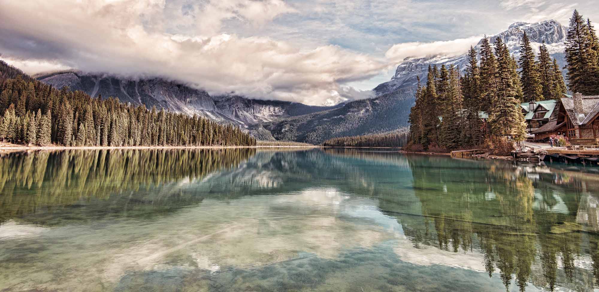
-
Article
Rogers Pass
During the summer of 1885 the railway was constructed over the pass at great expense. Over 6.4 km of snowsheds (31) were built to protect trains, trackage and workmen from AVALANCHES (the area receives up to 15 m of snow each winter).
"https://d2ttikhf7xbzbs.cloudfront.net/media/media/4a73903a-ec12-49d4-86cb-2a9cbd3c3f23.jpg" // resources/views/front/categories/view.blade.php
https://d2ttikhf7xbzbs.cloudfront.net/media/media/4a73903a-ec12-49d4-86cb-2a9cbd3c3f23.jpg
-
Article
Rondeau Provincial Park
Rondeau Provincial Park (established 1894, 33 km2) provides environmental protection and recreation on one of 3 peninsulas jutting south into Lake ERIE. It lies 120 km east of Windsor and 115 km southwest of London.
"https://development.thecanadianencyclopedia.ca/images/tce_placeholder.jpg?v=e9dca980c9bdb3aa11e832e7ea94f5d9" // resources/views/front/categories/view.blade.php
https://development.thecanadianencyclopedia.ca/images/tce_placeholder.jpg?v=e9dca980c9bdb3aa11e832e7ea94f5d9
-
Article
Rooster Town
Rooster Town was a largely Métis community that existed on the southwest fringes of suburban Winnipeg from 1901 until the late 1950s. While there were numerous urban Métis fringe communities on the Prairies and in British Columbia, their history has been relatively forgotten. (See also Métis Road Allowance Communities.)
"https://d2ttikhf7xbzbs.cloudfront.net/media/media/093c5c4d-cdd7-4fe5-b8d1-753c6c5a7dd9.jpg" // resources/views/front/categories/view.blade.php
https://d2ttikhf7xbzbs.cloudfront.net/media/media/093c5c4d-cdd7-4fe5-b8d1-753c6c5a7dd9.jpg
-
Article
Rosemère
In 1880, Rosemère was primarily an agricultural community. The beauty of the Laurentides region was later discovered and Rosemère established itself as a holiday destination.
"https://d2ttikhf7xbzbs.cloudfront.net/media/media/da9a5d37-763c-4f26-9866-1b7c4350f63e.jpg" // resources/views/front/categories/view.blade.php
https://d2ttikhf7xbzbs.cloudfront.net/media/media/da9a5d37-763c-4f26-9866-1b7c4350f63e.jpg