Browse "Places"
-
Article
Geography of the Northwest Territories
The Northwest Territories includes three main geographic regions: the Arctic Archipelago to the north, the arctic mainland and the Mackenzie Valley area. The arctic mainland, sometimes referred to as the Barren Lands, lies northeast of the treeline, and the Mackenzie Valley area to the west. The geography of the Northwest Territories may also be thought of in terms of Canada’s seven physiographic regions. The territories include four of these regions, namely the Western Cordillera, the Interior Plains, the Canadian Shield and the Canadian Arctic.
"https://d2ttikhf7xbzbs.cloudfront.net/media/new_article_images/GeographyofNWT/GreatSlaveLake.jpg" // resources/views/front/categories/view.blade.php
https://d2ttikhf7xbzbs.cloudfront.net/media/new_article_images/GeographyofNWT/GreatSlaveLake.jpg
-
Article
Geography of Yukon
The Yukon is divided by three of Canada’s seven physiographic regions. The vast majority of the territory is within the Western Cordillera region, while small, northern portions belong to the Canadian Arctic and Interior Plains. Geographically the bulk of the Yukon is a subarctic plateau interspersed by mountains. The major exception is the Arctic Coastal Plain, a narrower eastward continuation of the same region in Alaska, which slopes down to the Beaufort Sea from the British Mountains inland.
"https://d2ttikhf7xbzbs.cloudfront.net/media/new_article_images/GeographyofYukon/Mountains.jpg" // resources/views/front/categories/view.blade.php
https://d2ttikhf7xbzbs.cloudfront.net/media/new_article_images/GeographyofYukon/Mountains.jpg
-
Article
Geological Regions (Plain-Language Summary)
Geology is the study of what the Earth is made of and how it has changed over time. There are six geological regions in Canada. These regions are the Canadian Shield, the Interior Platform, the Appalachian Orogen, the Innuitian Orogen, the Cordillera and Western Canada Sedimentary Basin, and the Eastern Continental Margin. This article is a plain-language summary of the geological regions of Canada. If you are interested in reading about this topic in more depth, please see the full-length entry, Geological Regions.
"https://d2ttikhf7xbzbs.cloudfront.net/media/media/e6e2df67-a33a-46cb-ab6d-dc659323ec1d.jpg" // resources/views/front/categories/view.blade.php
https://d2ttikhf7xbzbs.cloudfront.net/media/media/e6e2df67-a33a-46cb-ab6d-dc659323ec1d.jpg
-
Article
George River
George River, 560 km long, in northern Québec, drains N into the E side of Ungava Bay. Its southern and eastern divides, along with those of tributary rivers Ford and De Pas, extend along much of the Québec-Newfoundland and Labrador border.
"https://development.thecanadianencyclopedia.ca/images/tce_placeholder.jpg?v=e9dca980c9bdb3aa11e832e7ea94f5d9" // resources/views/front/categories/view.blade.php
https://development.thecanadianencyclopedia.ca/images/tce_placeholder.jpg?v=e9dca980c9bdb3aa11e832e7ea94f5d9
-
Article
Georges Bank
Georges Bank is a large submarine bank (250 km by 150 km) at the edge of the Atlantic continental shelf between Cape Cod and Nova Scotia. Typical water depths are 50-80 m, but in some areas the water shoals to 10 m and less.
"https://d2ttikhf7xbzbs.cloudfront.net/media/media/1e88d9f5-39be-4e62-9ef7-b8f4444e4965.jpg" // resources/views/front/categories/view.blade.php
https://d2ttikhf7xbzbs.cloudfront.net/media/media/1e88d9f5-39be-4e62-9ef7-b8f4444e4965.jpg
-
Article
George's Jazz Room
George's Jazz Room (George's Spaghetti House, 1956-84). Restaurant, the longest-running jazz club in Canada.
"https://development.thecanadianencyclopedia.ca/images/tce_placeholder.jpg?v=e9dca980c9bdb3aa11e832e7ea94f5d9" // resources/views/front/categories/view.blade.php
https://development.thecanadianencyclopedia.ca/images/tce_placeholder.jpg?v=e9dca980c9bdb3aa11e832e7ea94f5d9
-
Article
Georgetown
Georgetown, Prince Edward Island, incorporated as a town in 1912, population 351 (2021 census), 372 (2016 census). Georgetown is a community within the municipality of Three Rivers. Three Rivers formed in 2018 when Georgetown amalgamated with the town of Montague, the rural municipalities of Brudenell, Cardigan, Lorne Valley, Lower Montague, Valleyfield and 18 other rural areas. Georgetown is the capital of Kings County and is located at the eastern end of PEI on an 8 km-long peninsula.
"https://d2ttikhf7xbzbs.cloudfront.net/georgetown/georgetown.jpg" // resources/views/front/categories/view.blade.php
https://d2ttikhf7xbzbs.cloudfront.net/georgetown/georgetown.jpg
-
Article
Georgian Bay
Georgian Bay is the northeast arm of Lake Huron in southcentral Ontario. It is shielded from the lake by the limestone spine of the Niagara Escarpment, which extends in a great arc northwest up the Bruce Peninsula. The bay is fed from Lake Superior via the North Channel, between Manitoulin Island and the north shore, and independently by the Mississagi, Spanish, French, Magnetawan, Muskoka, Severn and Nottawasaga rivers. The strait between the Bruce Peninsula and Manitoulin Island is called Main Channel (25 km wide).
"https://d2ttikhf7xbzbs.cloudfront.net/georgianbay/Beausoleil-Island-Coast.jpg" // resources/views/front/categories/view.blade.php
https://d2ttikhf7xbzbs.cloudfront.net/georgianbay/Beausoleil-Island-Coast.jpg
-
Article
Georgian Bay Islands National Park
Georgian Bay Islands National Park (established 1929, 12.7 km2) comprises 59 islands off the southeast coast of Georgian Bay. The national park includes the world’s largest freshwater archipelago. One notable location is Beausoleil Island, the largest island of the archipelago.
"https://d2ttikhf7xbzbs.cloudfront.net/georgianbay/Beausoleil-Island-Coast.jpg" // resources/views/front/categories/view.blade.php
https://d2ttikhf7xbzbs.cloudfront.net/georgianbay/Beausoleil-Island-Coast.jpg
-
Article
Georgina
Georgina, Ontario, incorporated as a town in 1986, population 45,418 (2016 census), 43,517 (2011 census). The townships of North Gwillimbury and Georgina were amalgamated in 1971 and incorporated as the town of Georgina in 1986. The town of Georgina includes the communities of Udora, Keswick, Sutton and Jackson’s Point. It is located on the south shore of Lake Simcoe, 67 km north of Toronto.
"https://d2ttikhf7xbzbs.cloudfront.net/media/media/3f89c11a-02ee-47d6-8fed-678a61168a3f.jpg" // resources/views/front/categories/view.blade.php
https://d2ttikhf7xbzbs.cloudfront.net/media/media/3f89c11a-02ee-47d6-8fed-678a61168a3f.jpg
-
Article
Geraldton
Geraldton, ON, population centre, population 1,761 (2021 census), 1,838 (2016 census). Incorporated as a town in 1937, in 2001 Geraldton was amalgamated with several other communities to create the Municipality of Greenstone. Geraldton is situated in northwestern Ontario on the Canadian National Railway, 282 km northeast of Thunder Bay. Established in the early 1930s as a consequence of the Little Long Lac gold rush, the town derived its name from its two co-founders, mining entrepreneurs J.S. FitzGerald and Joseph Errington.
"https://development.thecanadianencyclopedia.ca/images/tce_placeholder.jpg?v=e9dca980c9bdb3aa11e832e7ea94f5d9" // resources/views/front/categories/view.blade.php
https://development.thecanadianencyclopedia.ca/images/tce_placeholder.jpg?v=e9dca980c9bdb3aa11e832e7ea94f5d9
-
Article
Ghost Towns in Canada
Abandoned towns, or ghost towns, can be found across Canada. Often, the rise and fall of these towns is tied to the boom-and-bust economy of natural resource extraction (see Resource Towns in Canada). At other times, a place may undergo several transformations before finally being deserted. While some ghost towns become tourist attractions, others crumble. Here are the stories of five such sites in Canada.
"https://d2ttikhf7xbzbs.cloudfront.net/ghosttownsincanada/GhostTown.jpg" // resources/views/front/categories/view.blade.php
https://d2ttikhf7xbzbs.cloudfront.net/ghosttownsincanada/GhostTown.jpg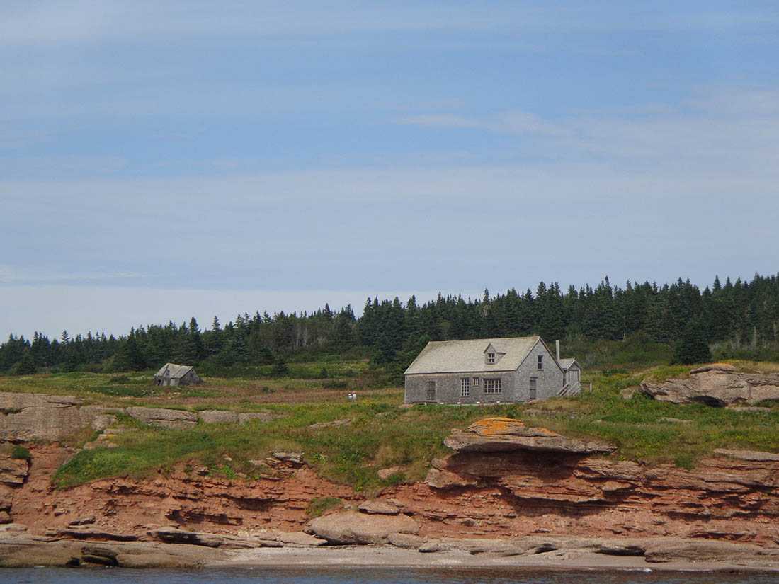
-
Article
Gibbons
Gibbons, Alta, incorporated as a town in 1977, population 3030 (2011c), 2642 (2006c). The Town of Gibbons is located 55 km northeast of Edmonton on the Sturgeon River. Gibbons is named in honour of William R. Gibbons, the first homesteader in the area in 1894.
"https://d2ttikhf7xbzbs.cloudfront.net/media/media/65565247-1d12-4041-aabf-121b6d1ee174.jpg" // resources/views/front/categories/view.blade.php
https://d2ttikhf7xbzbs.cloudfront.net/media/media/65565247-1d12-4041-aabf-121b6d1ee174.jpg
-
Article
Gibsons
Gibsons, BC, incorporated as a town in 1982, population 4437 (2011c), 4182 (2006c). The Town of Gibsons is located just north of VANCOUVER at the western entrance to Howe Sound. The town is reached from Vancouver by car ferry from Horseshoe Bay.
"https://development.thecanadianencyclopedia.ca/images/tce_placeholder.jpg?v=e9dca980c9bdb3aa11e832e7ea94f5d9" // resources/views/front/categories/view.blade.php
https://development.thecanadianencyclopedia.ca/images/tce_placeholder.jpg?v=e9dca980c9bdb3aa11e832e7ea94f5d9
-
Article
Gimli
Gimli, Manitoba, rural municipality, population 6,569 (2021 census), 6,181 (2016 census). Gimli was incorporated as a town from 1947 to 2003 after which it was reunited into the Rural Municipality of Gimli. (The original rural municipality was incorporated in 1887 and the village of Gimli separated from it in 1908.) The community is located on the west shore of Lake Winnipeg, 76 km north of Winnipeg.
"https://development.thecanadianencyclopedia.ca/images/tce_placeholder.jpg?v=e9dca980c9bdb3aa11e832e7ea94f5d9" // resources/views/front/categories/view.blade.php
https://development.thecanadianencyclopedia.ca/images/tce_placeholder.jpg?v=e9dca980c9bdb3aa11e832e7ea94f5d9