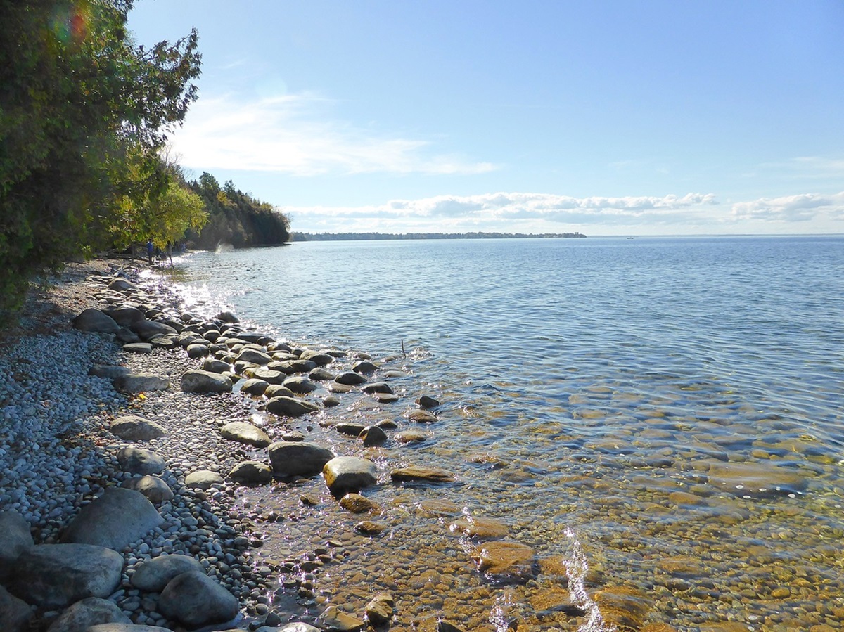
Lake Timiskaming (Lac Témiscamingue), 304 km2, 108 km long, elev 180 m, is located on the Ontario and Québec border in the southwestern corner of Québec. Varying from a few hundred metres to 8 km in width, Lake Timiskaming straddles the boundary, half in Ontario and half in Québec. Its physical character is well summarized in its name, an Algonquin word meaning "at the place of the deep water." The lake is deep - the mean depth is 122 m - except for the clay flats in the northeastern corner, which are dry at low water.
Along its eastern and southeastern shores are steep cliffs, a part of the LAURENTIAN HIGHLANDS, which until the 19th century were covered by PINE forests. On the southwestern shore this same topography prevails, but north of the Montreal River, where the lake widens, the hills give way to gentler slopes. Geologically, Lake Timiskaming is a remnant of Lake Barlow, a glacial lake dating back about 10 000 years.
History
Before European intrusion into the area, the ALGONQUIN occupied lands to the northeast of the lake, OJIBWA to the south and CREE to the northwest. All were drawn into the FUR TRADE in the early 1670s, and from then until the beginning of the 19th century, when the trade shifted northwestward, Lake Timiskaming was mainly a transportation route for a succession of fur companies and their traders. In the 1830s and 1840s, however, missionary fervour brought first OBLATES and then the SULPICIANS into the area. In these same years, lumbermen acquired cutting rights along the eastern shore of the lake in the Kipawa region. By the 1870s, lumbermen had fanned northward and crossed the lake to the western shore. In the 1880s, permanent settlement began around Lake Timiskaming, on the Québec side, thanks to the efforts of missionary colonizers such as Father Paradis at VILLE-MARIE, and in Ontario through the work of such men as Charles C. Farr, founder of HAILEYBURY.
The first commercial steamer appeared on the lake in 1882; 14 were in operation in 1900. By then, however, railways had begun to take over the lake's transportation role. The Canadian Pacific Railway branch line, the Temiskaming Colonization Railway, running northward in Québec from Mattawa, reached TÉMISCAMING in 1894 and Ville-Marie in 1925. The Ontario government began construction of its own colonization railway, the Temiskaming and Northern Ontario (T & NO), in 1902. By 1905 the T & NO had reached NEW LISKEARD, the farming village at the mouth of Wabi Creek on Lake Timiskaming, and 3 years later it connected with the National Transcontinental Railway at COCHRANE in the Great Clay Belt.
As a developmental instrument the T & NO proved to be immensely successful, making possible the establishment of a host of silver (COBALT) and gold (TIMMINSand KIRKLAND LAKE) mining towns to the west and northwest of the lake. Because of these railways and the highways constructed into the area from NORTH BAY and Mattawa in the 1920s, Lake Timiskaming declined as a commercial transportation route after WWI, but became important for tourism and recreational purposes.

 Share on Facebook
 Share on X
 Share by Email
 Share on Google Classroom


