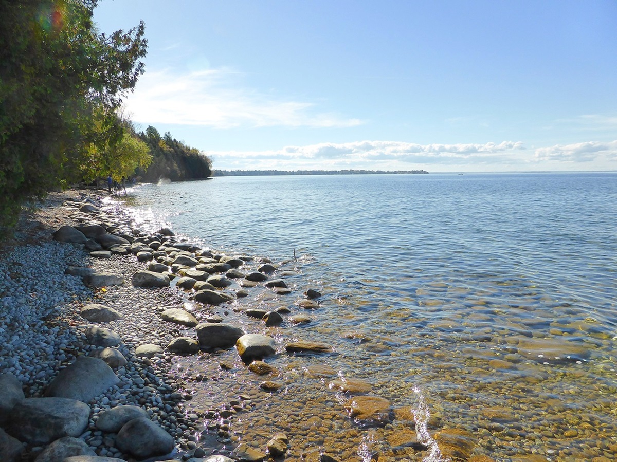
Nueltin Lake, 2279 km2, elev 278 m, max length 144 km, is located on the border of Nunavut and northeastern Manitoba, about 660 km south of the Arctic Circle. An irregularly shaped lake, it has a heavily indented shoreline and contains numerous small islands. It is fed by a number of surrounding lakes and is drained northeast into Hudson Bay by the Thlewiaza River. There was a trading post on the north end of the lake, and the area has been explored extensively since World War II - beginning with the Nueltin Lake Expedition (1947). The lake takes its name from the Chipewyan nu-thel-tin-tu-ch-eh, meaning "sleeping island lake." Discovered by Samuel HEARNE (1770-72), it appears on his map as Island Lake. Aaron Arrowsmith's map of Sir Alexander MACKENZIE's journeys (1789, 1793) shows it as Northlined Lake. The lake is now popular for fly-in SPORTFISHING.
-
- MLA 8TH EDITION
- Evans, David. "Nueltin Lake". The Canadian Encyclopedia, 23 January 2014, Historica Canada. development.thecanadianencyclopedia.ca/en/article/nueltin-lake. Accessed 22 February 2026.
- Copy
-
- APA 6TH EDITION
- Evans, D. (2014). Nueltin Lake. In The Canadian Encyclopedia. Retrieved from https://development.thecanadianencyclopedia.ca/en/article/nueltin-lake
- Copy
-
- CHICAGO 17TH EDITION
- Evans, David. "Nueltin Lake." The Canadian Encyclopedia. Historica Canada. Article published February 07, 2006; Last Edited January 23, 2014.
- Copy
-
- TURABIAN 8TH EDITION
- The Canadian Encyclopedia, s.v. "Nueltin Lake," by David Evans, Accessed February 22, 2026, https://development.thecanadianencyclopedia.ca/en/article/nueltin-lake
- Copy
Thank you for your submission
Our team will be reviewing your submission
and get back to you with any further questions.
Thanks for contributing to The Canadian Encyclopedia.
CloseArticle
Nueltin Lake
Article by David Evans
Published Online February 7, 2006
Last Edited January 23, 2014

 Share on Facebook
 Share on X
 Share by Email
 Share on Google Classroom


