Course

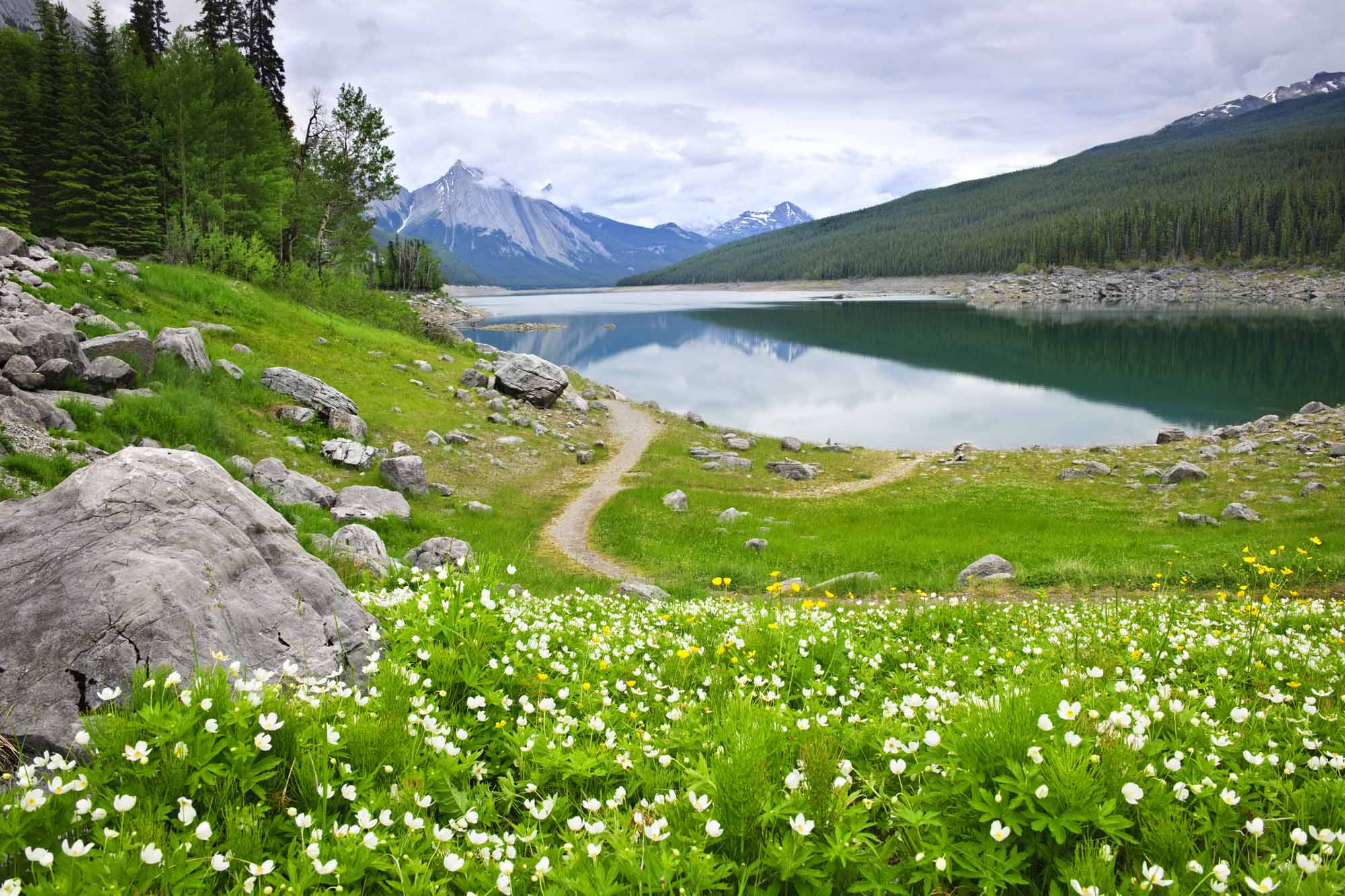
The Athabasca River headwaters are located on the eastern slopes of the Rocky Mountains , at the Columbia Icefield. It flows northeast through the steep mountainous region of Jasper National Park and past the foothills region where it is joined by the Berland and McLeod Rivers, before entering a boreal forest region. Between Whitecourt and Athabasca , the Athabasca River is joined by the Pembina River and Lesser Slave River, draining Lesser Slave Lake , and upstream of Athabasca, the Athabasca River and numerous tributaries (including the Clearwater , MacKay, Ells, Firebag and Richardson Rivers) flow through the Athabasca oil sands deposit. Approximately 200 km past Fort McMurray, the Athabasca River splits into two main channels and flows alongside Wood Buffalo National Park as it enters the Peace-Athabasca Delta and drains into Lake Athabasca .
Flora and Fauna

The Athabasca River flows across four ecological regions: Rocky Mountains, Foothill Forests, Temperate Grasslands and Boreal Forests, each home to a rich assortment of flora and fauna. Vegetation in the Rocky Mountains includes alpine fir, Engelmann spruce, Douglas fir and lodgepole pine, while wildlife includes bighorn sheep, grizzly bears, mountain goats, caribou and elk. Black bears , wolves, moose, beaver and deer are found throughout the Athabasca River basin, as well as aspen, balsam poplar, white spruce and balsam fir. The Boreal Forest region contains black spruce, mosses, shrubs and wetlands, and is home to lynx, muskrat and ruffed grouse. The Peace-Athabasca Delta is the most ecologically diverse area, home to numerous migratory birds, including ducks, geese and whooping cranes, as well as the world’s largest herd of bison.
Environmental Concerns
There are numerous environmental stressors along the Athabasca River, including forestry, agriculture, pulp and paper mills, and the oil sands deposit. The oil sands have both natural and anthropogenic (i.e., human induced) effects on the environment. For example, the sediments in the oil sands region contain toxic substances that are naturally eroded by the river. Additionally, water from rainfall or melting snow flowing over or through the ground picks up contaminants before reaching the river. Large areas of wetlands and boreal forest have been cleared for oil sands industrial development, which has led to loss of biodiversity and habitat for wildlife, including migratory birds.
Pollutants, including polycyclic aromatic hydrocarbons, mercury, methylmercury, zinc, nickel, lead, copper, cadmium, thallium and vanadium, are all emitted by the mining and processing of bitumen. Recent research has found substantial deposits of these airborne particulates on land, water and snow, as well as in lake sediments. The highest concentrations of the particulates are located closest to the oil sands development in what has been called a “bullseye” pattern extending as far as 200 km.
The relative contribution of pollutants from natural and anthropogenic sources and the effects of these pollutants on wildlife and fish is poorly known due to the lack of adequate long-term environmental monitoring. Efforts have been made to engage First Nations in the monitoring process, as these communities have historically raised concerns over water quality, the health and abundance of fish, declining populations of waterfowl, and high rates of cancer downstream of the oil sands.
History
The Athabasca River and its tributaries have provided vital transportation routes for First Nations and Métis inhabitants, early European explorers, and the fur trade. Additionally, the vegetation, mammals and waterfowl that populate the Athabasca River basin, as well as the fish in the Athabasca River and Lake Athabasca, have provided essential sustenance and materials to sustain traditional First Nation lifestyles. Numerous tribes hunted along the Athabasca River, including Sekani, Shuswap, Kootenay, Salish, Stoney and Cree, while Chipewyan, Cree and Métis settled in the Lower Athabasca region.
In 1778, Peter Pond established the first fur trading post along the Athabasca River near the delta, and was key to establishing trade routes and furthering exploration. Cree people along the Athabasca River played an essential role as trappers as well as voyageurs of the fur trade. The fur trade facilitated Métis settlement along the Athabasca River, where they hunted and established farms.
In 1811, David Thompson, along with an Haudenosaunee guide named Thomas, crossed the Rockies through Athabasca Pass, an area that would serve as a transportation route for many years. Jasper National Park, in the Upper Athabasca River, was created in 1907, displacing the Aseniwuche Winewak Nation from their traditional territory, who were forced to settle downstream or north of the Athabasca River.

 Share on Facebook
 Share on X
 Share by Email
 Share on Google Classroom


