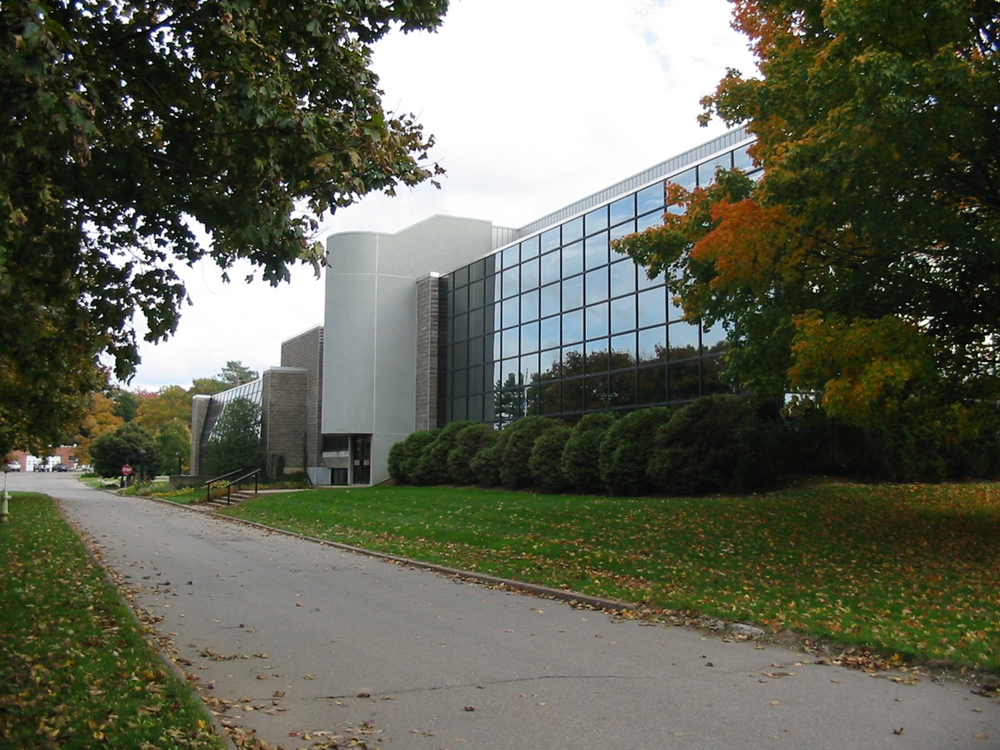
Kentville, Nova Scotia, incorporated as a town in 1886, population 6,630 (2021 census), 6,271 (2016 census). The Town of Kentville is located on the Cornwallis River, 110 km northwest of Halifax.
History
Like most of Nova Scotia, Kentville is located on the traditional territory of the Mi'kmaq people, who have a long history in the region.
Kentville was settled in the 1760s by New Englanders with lots at the western end of Horton, one of 13 townships established by the Nova Scotia government after the expulsion of the Acadians (see Acadian Expulsion). It was known to the Mi'kmaq as Penook ("Pineo Place," likely in reference to the now renamed Pineo Village), and, prior to that, as Obsitquetchk (“Place of Fording”). The New Englanders knew it as Horton Corner. It was, because of its location at a bend in the Cornwallis River, a natural crossing point between Horton and Cornwallis townships. It became the shire town of Kings County at the end of the 18th century and, being at the junction of seven roads, grew into a commercial centre, serving agricultural villages and hamlets in the Annapolis Lowlands.
Named Kentville in honour of Prince Edward, Duke of Kent, in 1826, the community thrived when the Windsor-Annapolis Railway (later Dominion Atlantic) established its headquarters there in 1868 and began shipping Annapolis Valley apples to British markets. Government facilities followed, including a militia installation at Camp Aldershot (1904) and the over 183 ha Kentville Research and Development Centre (~1910), which has been renovated and is now one of the most modern and sophisticated research centres in Canada. Although the British fruit market collapsed with the First World War and trucking of freight replaced rail transport, Kentville has survived, remaining the area's financial, medical and administrative centre.


 Share on Facebook
 Share on X
 Share by Email
 Share on Google Classroom
