Share on Facebook
 Share on X
 Share by Email
 Share on Google Classroom
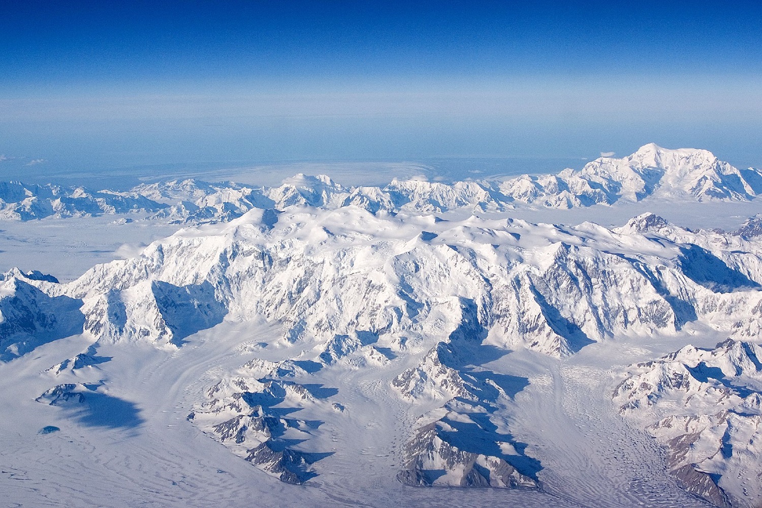
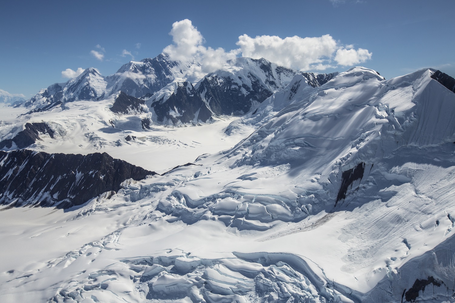
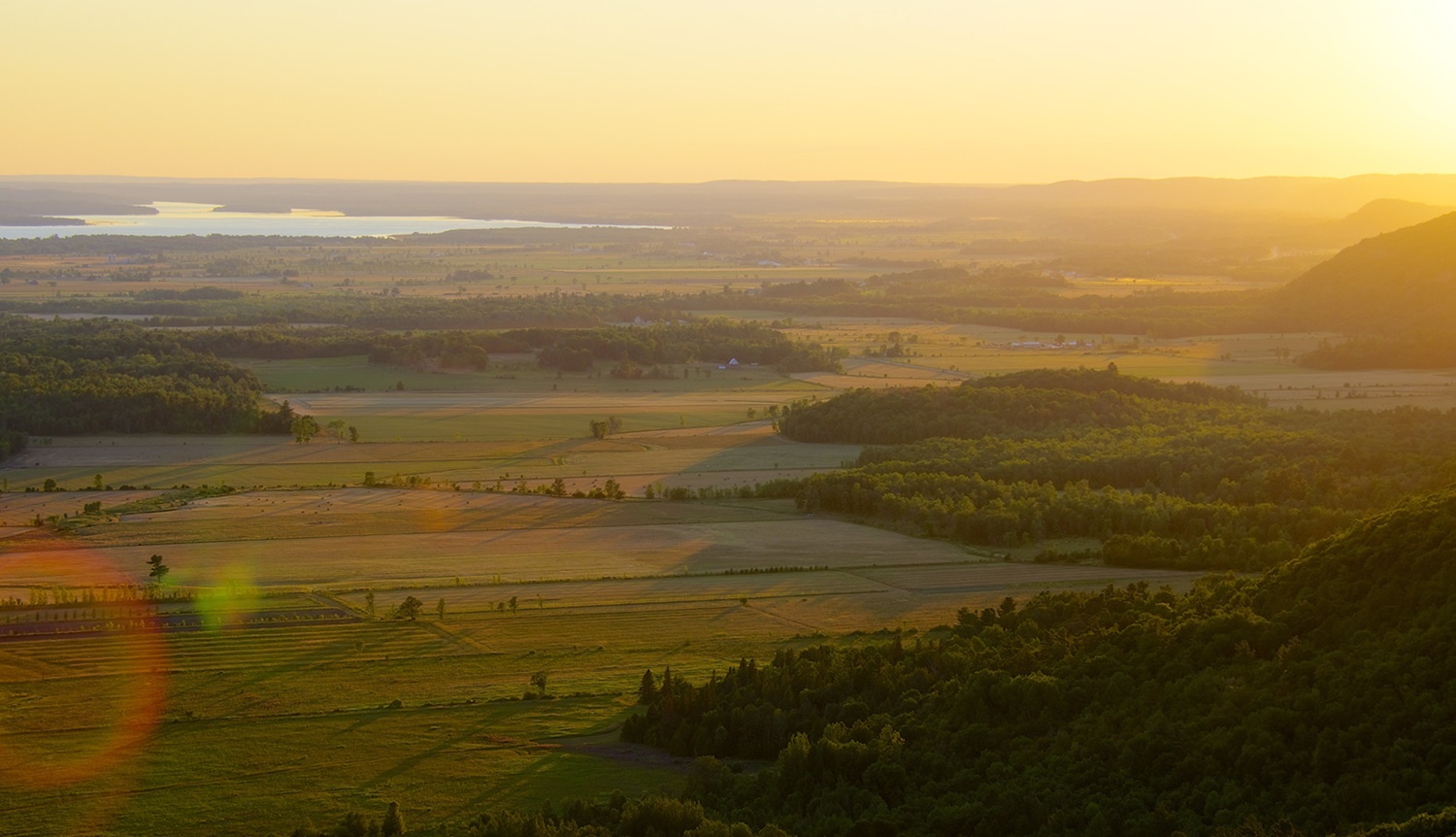
The Monts Chic-Chocs, also known as the Chic-Choc Mountains, are a subrange of mountains located in the Gaspé Peninsula of eastern Quebec. The mountains are very old — hundreds of millions of years old — and heavily eroded. They often have flattened, treeless tops and steep sides, and are well-forested. All ten of the highest peaks in this range are taller than 1,000 m, of which the highest is Mont Jacques-Cartier, named for the explorer who may have been the first European to see the mountains (see Jacques Cartier). The Chic-Chocs are well known for their hiking trails and backcountry skiing. Part of the range lies within the boundaries of a Quebec provincial park and a wildlife preserve. The Chic-Chocs are a unique geographical feature, forming the backbone of the Gaspé Peninsula, and containing within them a complex environment mixing features of eastern woodlands with arctic/subarctic and alpine/subalpine climates. These conditions create a unique landscape as well as the natural environment. The Chic-Chocs are the tallest mountains in southern Quebec.

Location
The Chic-Chocs are part of the larger Monts Notre-Dame that run across southern Quebec, and were, along with the adjacent Monts McGerrigle, first known by that name. The Monts Notre-Dame, in turn, are a continuation of the Green Mountains of Vermont, which are part of the much larger Appalachian Mountains, which run across the eastern part of the United States from Maine to Georgia. The Chic-Chocs subrange itself is about 95 km long, roughly 10 km wide, and situated parallel to the St. Lawrence River, at a distance of between 20 and 40 km.

History and Exploration
While it is known that the Mi'kmaq lived in the area of the Monts Chic-Chocs and likely followed natural paths and routes, such as rivers abundant in salmon, through the region, no archeological trace of Mi’kmaq material culture has yet been found in the Chic-Chocs or the region’s Parc national de la Gaspésie.
Jacques Cartier arrived in Gaspésie on 15 August 1535, the day of the Assumption of the Virgin Mary, also called Notre-Dame (Our Lady), which may explain the source of the name “Monts Notre-Dame.” Cartier is said to have remarked on the mountainous relief and called the Chic-Chocs “tall mountains of wonders.” The term “Monts Notre-Dame” was well-established by the 17th century and is included on Samuel de Champlain’s 1632 map.
Exploration of the Chic-Chocs picked up in the mid-19th century. The geologist Sir William Edmond Logan explored the region in 1844 with a large party that included two scientific assistants as well as five Indigenous guides. They explored the Rivière Cap-Chat, climbed Mont Logan (which was later named in his honour), and went to Baie des Chaleurs via the Rivière Cascapédia. In 1845, geologist Alexander Murray climbed Mont Albert and named it for Prince Albert, husband of Queen Victoria, whose birthday coincided with Murray’s ascent.
Did you know?
At least two mountains in Canada are named after Sir William E. Logan, a Canadian geologist and founder of the Geological Survey of Canada. Mont Logan in Quebec’s Chic-Chocs range is one. The second is Mount Logan in the St. Elias Mountains in Yukon’s Kluane National Park and Reserve. Mount Logan is the highest mountain in Canada and the second highest in North America at 5,959 m.
From 1927 to 1967, fire wardens kept watch over the surrounding forest from the summit of Mont Jacques-Cartier. During the Second World War, the Canadian Army also occupied the summit and built roads and buildings there. In 1950, a hotel called Gîte du Mont-Albert, which continues to operate to this day, welcomed its first customers.
")
Conservation
The Chic-Chocs are partly protected by a provincial park and a wildlife preserve. Parc national de la Gaspésie was created in April 1937 to preserve the natural heritage of the area, including the natural habitat of the Gaspésie Caribou and the Rivière Sainte-Anne salmon, two unique species. It is the second-oldest provincial park in the province. In addition, the park was created to preserve the natural beauty of Mont Albert and the Monts McGerrigle, which are a subrange of the Chic-Chocs. East of the park is the Réserve faunique des Chic-Chocs (Chic-Choc Wildlife Refuge).

What’s in a Name?
Since the 18th century, there have been many variations on the spelling and pronunciation of Chic-Chocs, which is itself likely of Mi'kmaq origin. The Mi’kmaq word “Sigusoq” is used to identify the mountains, and this translates roughly into “bare cliff-like ridges”.
The term Chic-Chocs is first noted in documentation in 1852, followed by Chick-Saws in 1854, Shickshock in 1857, Chikchâks in 1861, Chik-Chaks in 1889, Shickshocks in 1908, Sigsôg in 1942, and Shickskokes in 1945. The term Shick-Shocks was also first noted in 1945 and then again in 1992.

Geography and Climate
The geological structure of the Monts Chic-Chocs is volcanic and sedimentary; the mountains are over 450 million years old and were created through underwater volcanic activity (see Geological History of Canada). Over time, the mountains were gradually eroded, most notably by glaciers that retreated over the course of the last Ice Age. It is surmised that the Chic-Chocs may have been nunataks — mountain summits that protrude through a glacier or ice field.
The mountains are distinguished by certain physical characteristics, such as high plateaus, block fields, steep ridges and deep valleys. Winds blow through the area regularly, with wind gusts up to 250 km/h recorded on Petit mont Sainte-Anne. Some animal and plant life similar to what is found in the Arctic and subarctic can be found in parts of the Monts Chic-Chocs.
There is considerable snowfall in the Chic-Chocs, with annual accumulation reaching 3.5 m on average. Snow can persist in the Chic-Chocs well into the summer. In all of Quebec, rainfall is highest in the Chic-Chocs. Fish species found in the area, particularly the Rivière Sainte-Anne and Lac Cascapédia, include Atlantic salmon, lake trout, speckled trout and Arctic char.

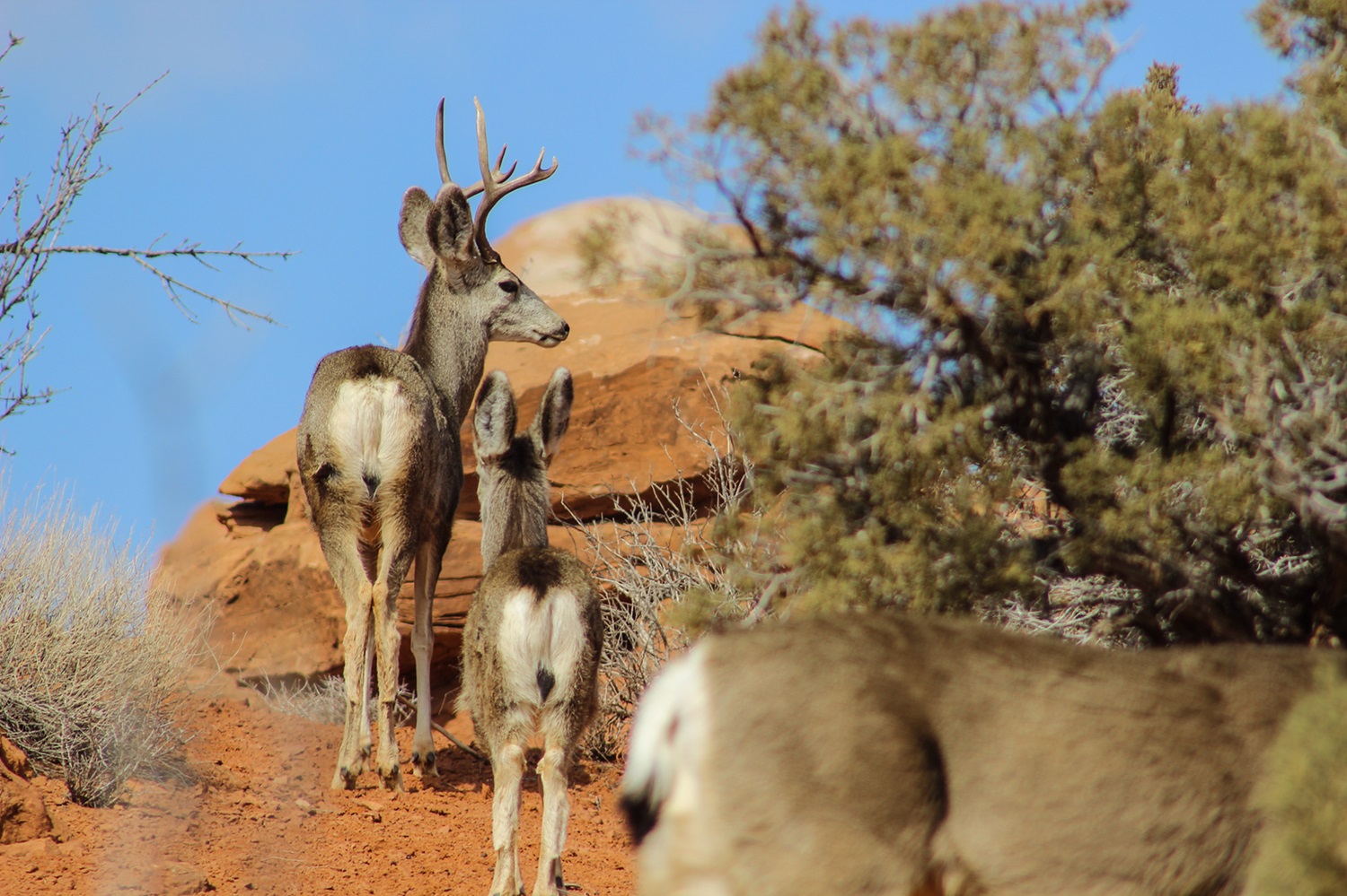
The mountains feature several distinct ecosystems, ranging from mountain forests at the foot of most peaks (where balsam firs and white birch are the dominant species), to the subalpine range (where conifers are dominant), and finally the alpine regions at the peaks, which have the characteristics of tundra. Because of the ecological differences between the valleys and the peaks of the Monts Chic-Chocs, in addition to the presence of mountain lakes, rivers and streams, as well as the influence of wind, precipitation and even the prolonged preservation of an area ranging from 800 to nearly 1,300 square km, the Chic-Chocs are home to a wide variety of animal species. These include species that are otherwise not found living near each other in other parts of Quebec, such as the white-tailed deer, woodland caribou and moose, the horned lark and the white-throated sparrow, the Canadian tiger swallowtail butterfly and the white-veined Arctic butterfly, the golden eagle, harlequin duck and Bicknell’s thrush.
The Chic-Chocs are also the southernmost refuge for Arctic lichens in eastern North America.