Share on Facebook
 Share on X
 Share by Email
 Share on Google Classroom
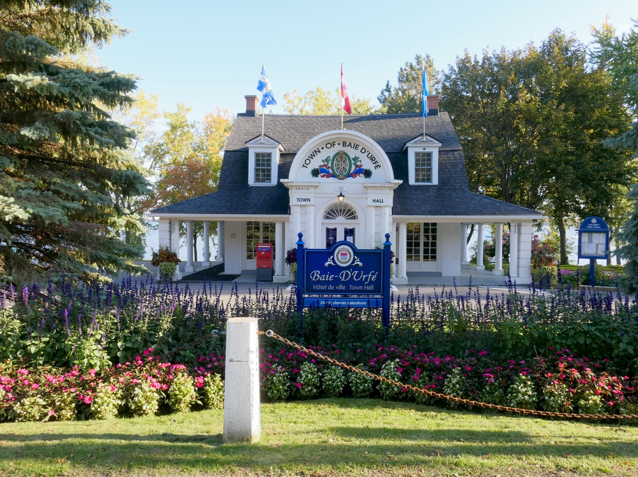
The Quebec City-Windsor Corridor is a unique geographic, historical and cultural region of Canada. Stretching along the St. Lawrence River and Great Lakes watershed from Quebec City, Quebec, in the east to Windsor, Ontario, in the west, it is the most densely populated and heavily industrialized region of Canada. It is home to roughly half of Canada’s population and is the location of three of Canada’s largest metropolitan regions. The corridor has the characteristics of a conurbation — a continuous network of urban communities — and is also considered to be part of the Great Lakes megalopolis. The region contains Canada’s two largest cities (Toronto and Montreal), the national capital (Ottawa) and the capital cities of Canada’s two most populated and most economically powerful provinces (Quebec and Ontario). It is also the location of some of Canada’s earliest known settlements (both Indigenous and non-Indigenous) as well as some of the oldest continual settlements in Canada. Geographer Maurice Yeates referred to the Quebec City-Windsor Corridor as Canada’s “Main Street.” The region is considered Canada’s equivalent to the Northeast Corridor megalopolis of the United States.

Boundaries
As indicated by its name, the Quebec City-Windsor Corridor stretches from the Quebec City metropolitan region in the east to the City of Windsor, Ontario, in the west. While Detroit, Michigan, lies across the Detroit River to the west of Windsor and the two cities are part of the same metropolitan region, the international boundary separates the Quebec City-Windsor Corridor from the United States, and thus from the Great Lakes megalopolis region. In 1975, geographer Maurice Yeates defined the area as occupying roughly 175,000 km2 — about the same size as England and Wales combined, or one-third the size of France — with roughly the shape of a rectangle 160–240 km wide by 1,050–1,210 km long. According to Yeates the western boundaries are Georgian Bay, Lake Huron and Lake St. Clair (and the St. Clair River), while the southern boundaries are Lake Erie, Lake Ontario, the St. Lawrence River (in the Thousand Islands region, where the river separates Ontario from the state of New York) and the Canada-US border in southern Quebec. Yeates noted in 1975 that the northern and eastern boundaries are more difficult to delineate, but are roughly defined (moving from west to east) by Georgian Bay, Algonquin Provincial Park and the Laurentian Highlands as far as the Quebec City metropolitan region. In Quebec, Yeates noted, the corridor roughly follows the extent of the St. Lawrence Lowland physiographic region, which extends just east of the provincial capital and follows a short straight line down from the St. Lawrence River to the American border.

History
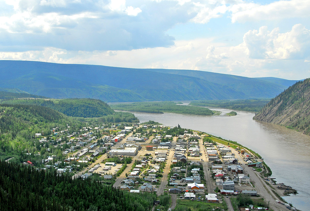
Though the concept of a megalopolis or conurbation is relatively recent, because of the high-quality soil, abundance and variety of plant and animal life, temperate climate, abundant sources of fresh water and navigable waterways, the Quebec City-Windsor Corridor has been home to human beings for thousands of years, and is the site of some of the earliest European settlements in Canada. Several of these settlements were located near previous Indigenous settlements, continuing a pattern of human settlement that stretches from the present day back thousands of years. Examples include Montreal, which was founded by French colonists as Ville-Marie in 1642, though Jacques Cartier reported the Indigenous settlement of Hochelaga during his second voyage, in October of 1535. During the same voyage, Cartier visited the Iroquoian village of Stadacona, located roughly in the same location as Quebec City, which was founded by Samuel de Champlain in 1608. The St. Lawrence Iroquoian people established both of these communities, and are believed to have lived in the St. Lawrence River valley between 1200 and 1600 CE. Other Indigenous communities that lived in what is now called the Quebec City-Windsor Corridor include the Wendat (Huron), the Haudenosaunee (Iroquois), the Innu (Montagnais-Naskapi) and the Anishinaabe (including the Algonquin, Odawa — from which the city of Ottawa gets its name — and Ojibwe).
Much as they had been used by Indigenous people for thousands of years, the St. Lawrence River, Great Lakes and their respective tributaries were used by French colonists as navigable waterways that allowed them to explore the continent and collect valuable commodities, such as beaver pelts. High-quality soil, temperate climate, sources of freshwater and timber — all of which had supported Indigenous communities for millennia — also helped European colonists settle the land that became Canada.
Several important events in the pre-Confederation history of Canada occurred either entirely or partly within the Quebec City-Windsor Corridor. These include the establishment of New France, the Beaver Wars, the Great Peace of Montreal, the Conquest of New France by Great Britain, the American Invasion of Canada, the arrival of the Loyalists, the War of 1812, the Rebellions of 1837–1838, the construction of the Rideau Canal and the Lachine Canal, the Montreal Riots of 1849 and the construction of the Grand Trunk Railway. Various communities in the Quebec City-Windsor Corridor were also where formerly enslaved African-Americans found refuge after completing their journey north along the Underground Railroad.

Population Centres
As of the 2021 Census, 12 of Canada’s 18 largest communities (all with populations over 400,000) are located in the Quebec City-Windsor Corridor.
Other major population centres in the Quebec City-Windsor Corridor with Census metropolitan area populations in excess of 100,000 include Sherbrooke, Quebec; Barrie, Ontario; Kingston, Ontario; Guelph, Ontario; Trois-Rivières, Quebec; Brantford, Ontario; Peterborough, Ontario; Belleville-Quinte West, Ontario; Chatham-Kent, Ontario; and Drummondville, Quebec.
|
City |
Province |
Census Metropolitan Area Population (2021) |
|
Ontario |
6,202,225 |
|
|
Quebec |
4,291,732 |
|
|
Ontario & Quebec |
1,488,307 |
|
|
Quebec |
839,311 |
|
|
Ontario |
785,184 |
|
|
Ontario |
656,480 |
|
|
Ontario |
575,847 |
|
|
Ontario |
543,551 |
|
|
Quebec |
438,366 |
|
|
St. Catharines-Niagara |
Ontario |
433,604 |
|
Ontario |
422,630 |
|
|
Ontario |
415,311 |

Geography and Climate
The Quebec City-Windsor Corridor is home to the Mixedwood Plains Canadian ecozone (see Natural Regions). This ecozone is the smallest in Canada, and is influenced in part by the comparatively high population density of the corridor. The region has cool winters averaging -5ºC and warm summers averaging 17ºC. This ecozone experiences highly changeable weather and is in one of the major storm tracks of North America. The area is mostly composed of large plains with gentle rolling hills. It also contains the most productive agricultural soil in all of Canada. Major bodies of water and their tributaries characterize the region and play a role in irrigating the plains as much as influencing climate and weather patterns. Though the area was once dominated by ancient forests (see Old-Growth Forests in Canada), agriculture and urbanization have greatly reduced the area they cover. Remaining forests are characterized by coniferous and deciduous trees mixing evenly. Large mammals found in the region include black bears, moose, white-tailed deer, bobcats and wolves. Beluga whales are often seen swimming in the St. Lawrence River, at least on one occasion as far south as Montreal. Other mammals found in the region include coyotes, raccoons, river otters, a variety of squirrels, chipmunks, skunks, beavers, groundhogs, opossums, foxes, rabbits and hares. Because of the high population density and high industrialization, as well as the gradual elimination of agricultural lands for housing, the region suffers from extensive pollution and environmental degradation.
 at the Haliburton Forest Wolf Centre")
Transportation
The Quebec City-Windsor Corridor has long been a focal point for east-west transport and communication, dating back to the earliest times swhen the St. Lawrence River, Ottawa River, Great Lakes and their many tributaries provided a network of navigable waterways that could be used for trade, communication, transportation, exploration and even war. This remained the case well into the colonial period. Rapids, such as those at Montreal, made it impossible for large ocean-going sail and steam-powered ships to proceed farther upstream into the Great Lakes until canals and locks were built in the 19th century. The St. Lawrence Seaway, a joint effort by the United States and Canada, was opened in 1959. It permits large, modern ocean-going ships, such as bulk carriers, to bypass rapids and the substantial change in elevation between the Gulf of St. Lawrence and Lake Superior.
Railways were developed in the region beginning in the mid-19th century to connect major population centres and ports with the towns and villages of outlying agricultural regions. The combination of railways and canals connecting major navigable waterways, population centres and rural agricultural regions is what’s chiefly responsible for the Quebec City-Windsor Corridor becoming the most populous region of Canada. Agricultural goods and primary resources — such as timber — could easily be brought to large settlements and then exported or redistributed domestically, while waves of immigrants could land in major ports and either take up jobs in manufacturing, processing or warehousing in the cities or make their way out to rural areas to start farms or businesses of their own.
This history of transportation and communication continues today in the Quebec City-Windsor Corridor, which is home to some of Canada’s most travelled air corridors, its busiest highway (Ontario’s 401 and Quebec’s A-40, both part of the Trans-Canada Highway) and its busiest passenger railway corridor (see Iconic Highways in Canada). Via Rail named this segment of their network ”The Corridor” in reference to the Quebec City-Windsor Corridor.
The term “Quebec City-Windsor Corridor” is often used in the context of a long-proposed high-speed train intended to serve the region. The high population density and the high volumes of people moving between its major population centres are often mentioned as the principal justifications for such a project.