Timelines
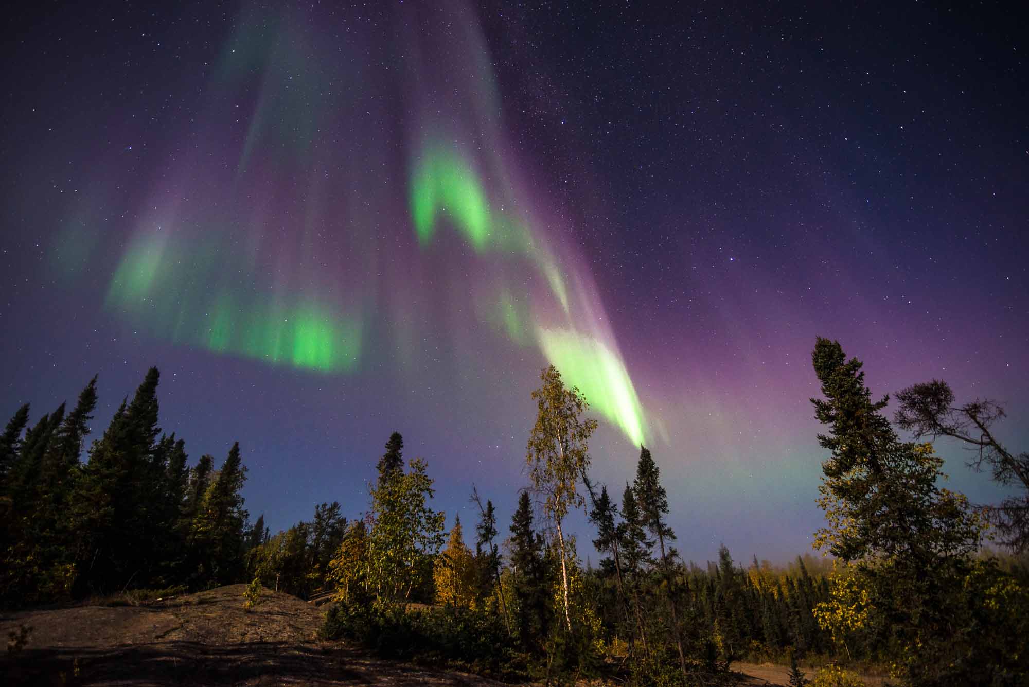
Northwest Territories
The Northwest Territories lie northwest of central Canada, bordered to the east by Nunavut, to the west by the Yukon and to the south by the northeastern corner of British Columbia, as well as the entire northern borders of Alberta and Saskatchewan.